Daibutsu Hiking Course is a hiking course packed with highlights that connects ‘Jouchiji Temple of Kitakamikura’ and the symbol of Kamakura ‘Great Buddha’ which stands on the grounds of Kotokuin Temple.
It is a course with a great relief and a walking distance of about 3 km in total length. Please avoid leather shoes and heels.
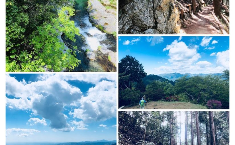
Hiking course which is representative of Kamakura very popular from hiking beginners to advanced people.
If you have plenty of time you can enter the hot spring in the ocean view and relax and return home.
Kamakura is a popular tourist destination to arrive in about 1 hour from Shinjuku. You can see lots of old shrines, temples and Japanese garden and enjoy various types of Japanese restaurants.
JR Yokosuka Line “Kitakamakura station”

- area:
- Kanagawa Prefecture South of Tokyo
- Genre:
- Hiking
- LEVEL:
- Beginner
- Traveling time (not including breaks):
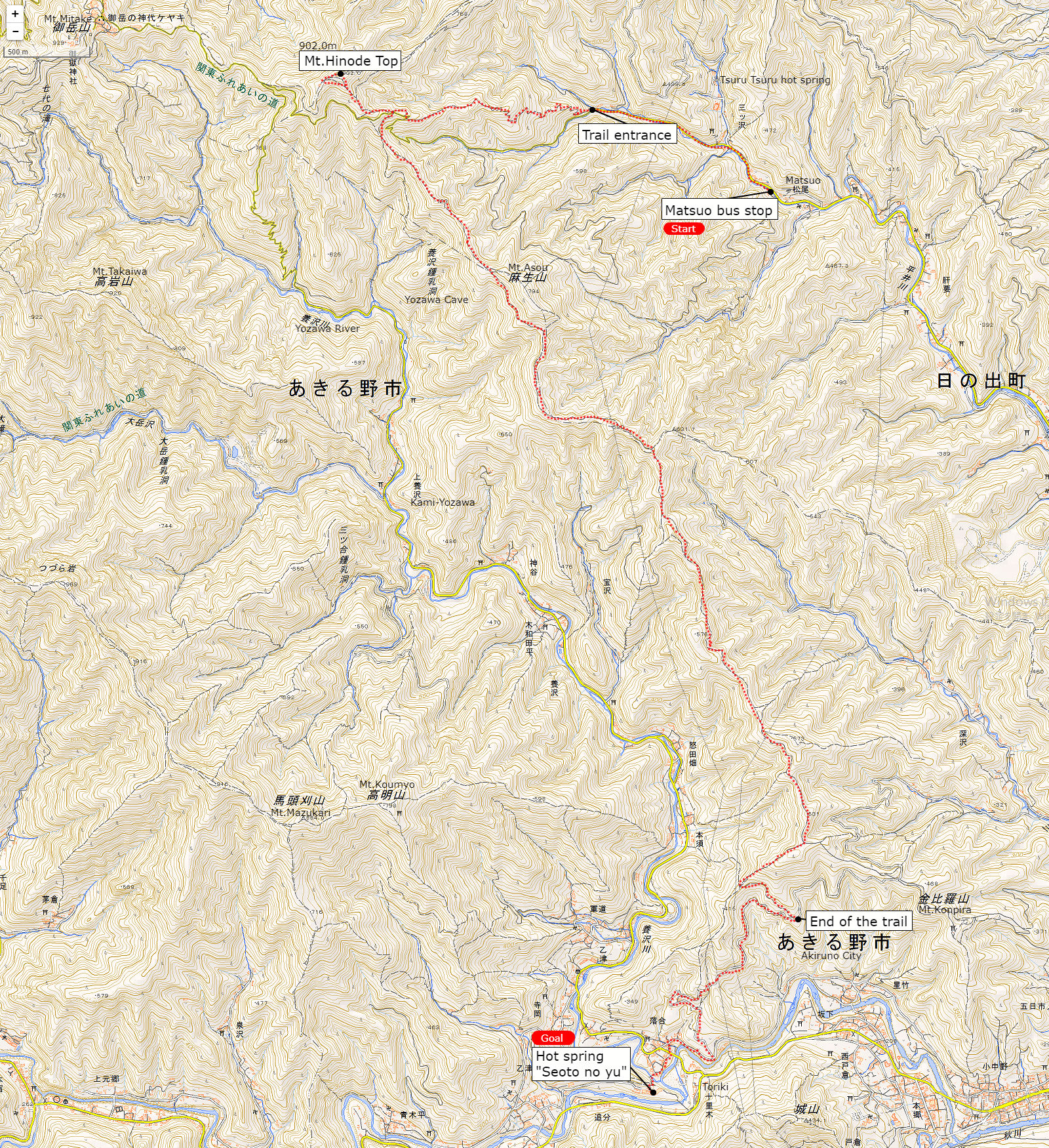
- 3 hours 30 minutes
- Distance:
- About 8km
- Maximum elevation difference:
- 100m
- Access:
- JR Yokosuka Line「北鎌倉駅 Kitakamakura station」
- Return:
Enoshima-dentetu Line「稲村ケ崎駅 Inamuragasaki station」
※It is an outline of the approximate course, please note that it is not completely correct guidance.
There is a map of today’s course in front of the station.

Leave the station and turn to the left.

It goes through several temples by Jouchiji Temple for the purpose.

Turn right at this sign.

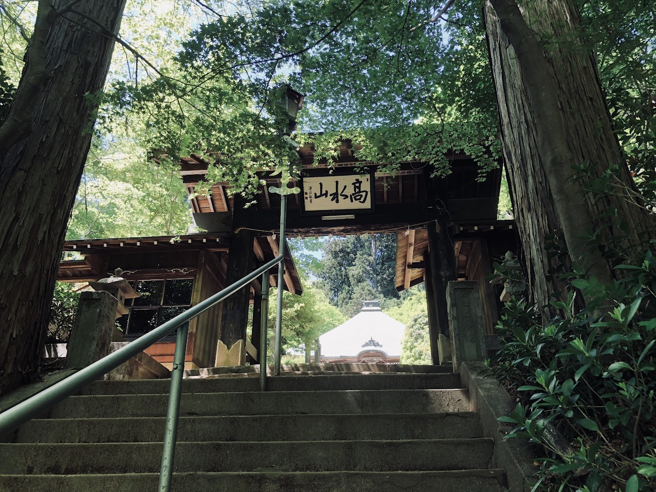
Jouchiji Temple is more attractive than nature’s famous Zen temple, nature is deep and wild

Admission fee 200 yen.

Continue along the bamboo stuff on the side of Jodiji Temple.

It turns into a mountain path from this neighborhood.


Probably it is a squirrel on the way of the trail, if you hear strange cries from the trees.

I will arrive at the Kuzuhara shrine after going on a steep slope for a while.


In the park adjacent to the shrine, a bench is set up and it is ideal for taking a break.

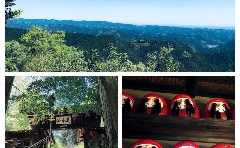
It is a view which can see the city of Kamakura.

Nearby there is a grave of Toshimoto Hino which is a god of Kuzuhara Oka Shrine.

Let’s follow the signs of Daibutu Hiking Course.

It is a luxurious view with sea view.

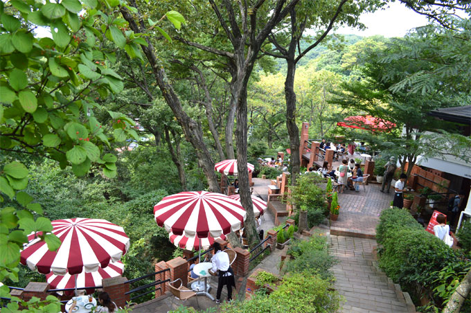
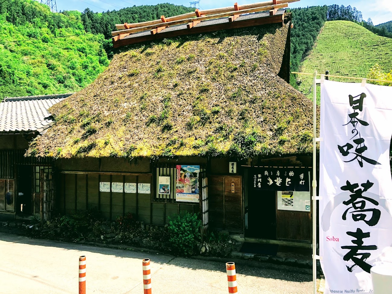
There is a cafe “Ituki” on the trail.


Koutokuin which there is a great Buddha is 400 meters away.

As you get off the stairs you have a tunnel so please go down the slope without going to the tunnel side.

Kotokuin entrance fee is 200 yen.


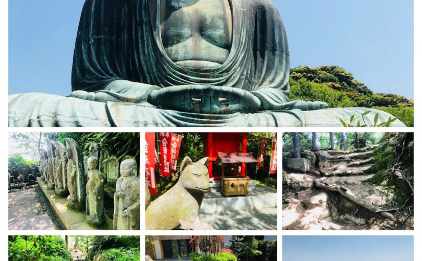
It is a famous Kamakura Great Buddha.

You can enter the inside of the Great Buddha with an admission fee of 20 yen.


There are many restaurants and souvenir shops around Kotokuin.

Kamakura gelato is a popular gelato shop.


Hase Temple is called the western paradore of Kamakura, a Hase-ji temple that is popular as a “flower temple” throughout the year.


Hydrangea was beginning to bloom at this time.


It is said that it will come true if you write a wish in an ema.

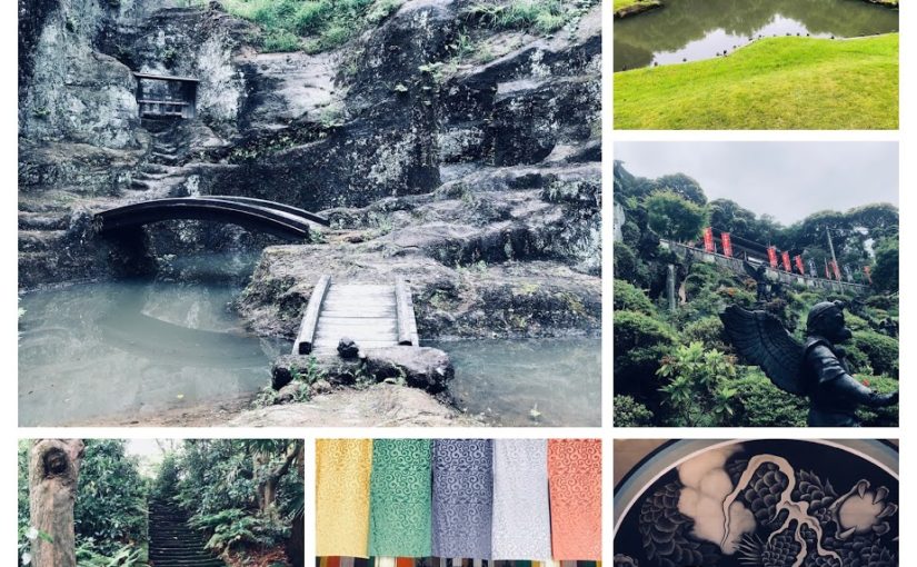
You can also enjoy a beautiful Japanese garden.
Kresannsui is a garden style that expresses the landscape of mountain water with stones, sand, etc. without using water such as pond and sewage.


Next to Hase Sta. There is “Haseka Shokudo”.

We will have beer at “Hase Shokudou”.
Raw Shirasu bowls will be served at soy sauce.


You are going to the sea in a few minutes from Hase Sta.

Let’s go to the seaside (to the right) and go to the hot spring if you have time!

The first floor of Inamuragasaki Onsen is a restaurant.

Let’s relax at the hot spring in the ocean view.

Enoshima Dentetsu Railway “Inamura Gasaki Station”

If you are looking for tour guide of this hiking course please refer to the following.


 It is almost like a Japanese garden on the moon of Zuisenji Tenple.


 It is a popular Matcha ice cream shop “Kamakura Chacha”.


 There are cafes, used outdoor goods stores, convenience stores, etc. along the street.

