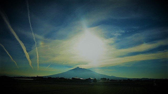
Walk through beautiful uplands like paradise above clouds in Tōhoku
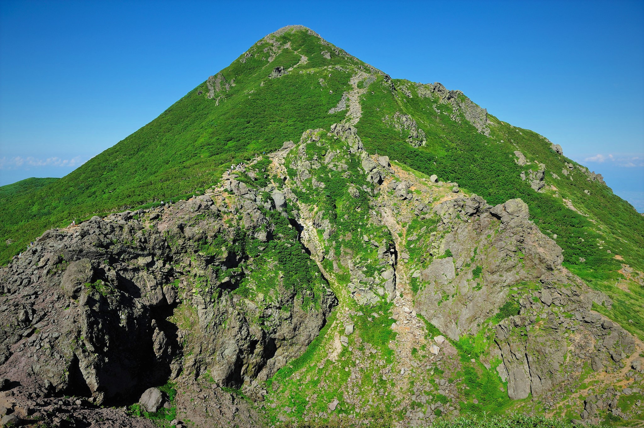
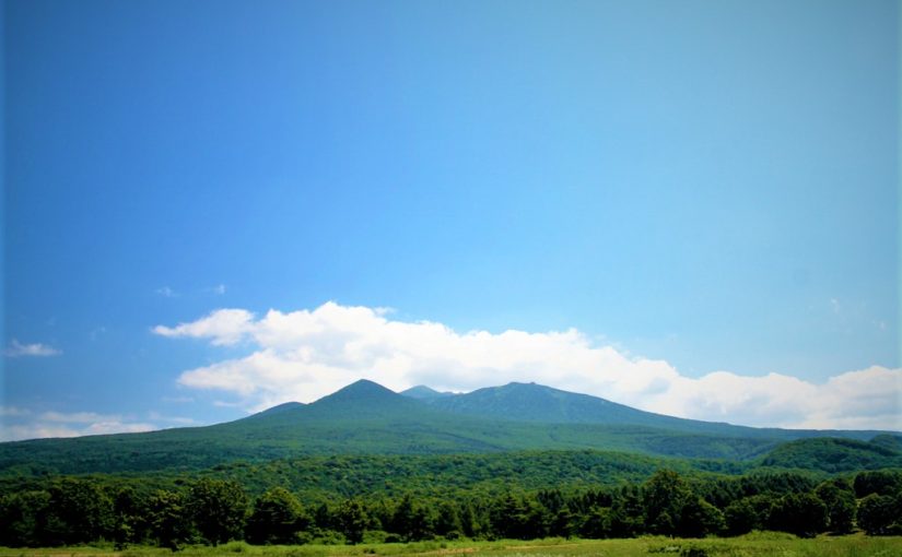
Hakkōda-san has 18 mountains with Ō-dake as the main peak, and many hikers aim to clime Ō-dake. There are marshes around beautiful uplands, and many hikers are visiting from early summer to autumn. Although the altitude is about 1500 m, it is an elegant mountain suitable for “100 Famous Japanese Mountains”.
Detailed Data of Hakkōda-san (八甲田山)

AREA: Towada city, Aomori city Aomori prefecture, Japan
HIGHEST POINT: 1585 m, Mt. Ō-dake
LEVEL OF COURSE: ★☆☆
PLAN: Day Hike
DURATION: 4 hour 35 minutes
DISTANCE: About 9 km
DIFFERENCE OF ELEVATION: 685 m
ENDURANCE: ★☆☆
DIFFICULTY LEVEL: ★☆☆
BEST SEASON: Mid-June to October
Hakkōda-san’s Hiking Course Map
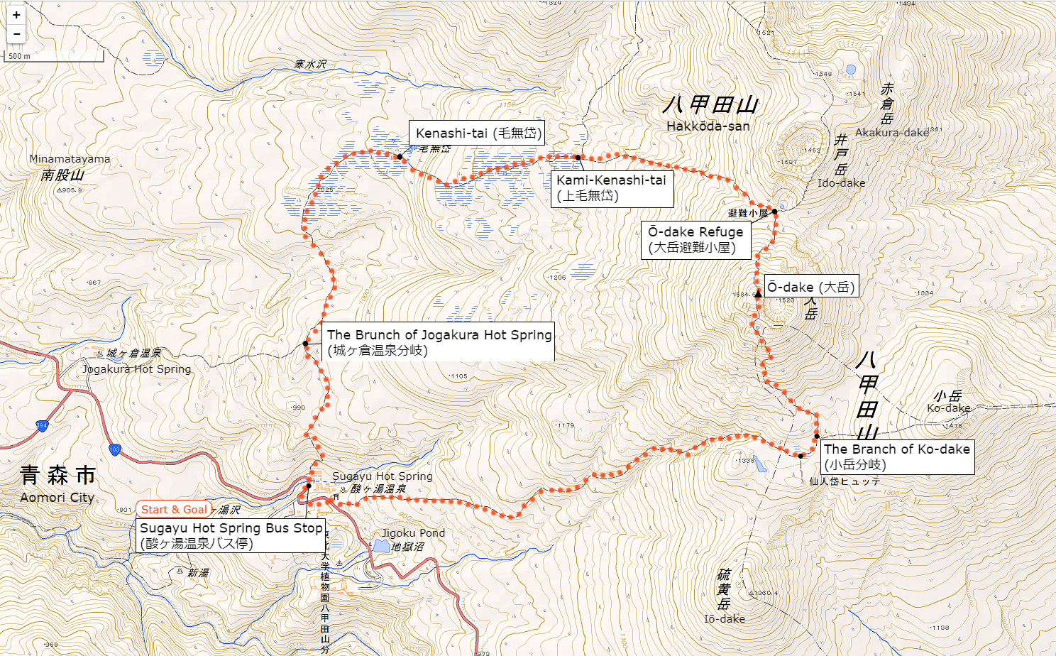
The source of above the three maps are “Digital Japan Web System” of The Geospatial Information Authority of Japan. The maps were edited a author of this blog.
In Japanese: これらの3枚の地図は国土地理院の電子国土Webシステムから配信されたものをこのブログの著者が加工したものである。
How to travel to Hakkōda-san (Sugayu Hot Spring)
the total amount: about 2680 JPY
Aomori Station (青森駅)
↓↑
JR Bus (about 1 hour and a half): 1340 JPY
↓↑
Sugayu Hot Spring Bus Station (酸ヶ湯温泉バス停)
Inquire:
JR Bus Tōhoku (JR東北バス) 017-773-5722
By Car:
From Tohoku Expressway / Aomori IC via National Route 103, about 28 km from “Hakkōda · Towada Lake Gold Line” to Hakkōda Ropeway
Paking Lot Infomation:
There is a free large parking lot at Sugaya Hot Spring about 100 meters from Lake Towada.
Surrounding Inn:
Sugaya Hotspring Ryokan (酸ヶ湯温泉旅館)
A hot spring built 300 years ago. It is famous for “Hiba Sennin Buro” in the large public bath. There are four bathtubs with different sources, so you can enjoy them slowly.
Tel: 017-738-6400
Fee: 1230 yen with half board, 600 yen Day-use hot springs
Adress: 50 Suyusawa Minami-arakawa-yama Kokuyūrin Arakawa Aomori city, Aomori (青森県青森市荒川南荒川山国有林酸湯沢50」)
Access: Just a short walk from Sugayu Hot Spring Bus Station (酸ヶ湯温泉バス停)
Hot Springs After Hiking
Hotel Jogakura
Official Web Site: https://www.jogakura.com/en/
Northern European style hotel surrounded by beech forests facing mountain stream.
Clear air has a pleasant outdoor bath.
Accommodation is also available.
Tel: 017-738-0658
Adress: Hakkōda-san-chu Arakawa, Aomori (青森県青森市荒川八甲田山中)
Opening hour: 11:30 am – 4:00 pm
Fee: 1000 JPY for day-use hot springs
Access: Just a short walk from Jogakura Hot Spring Bus Stop (城ヶ倉温泉バス停) on foot.