【Week Day Hiking on April 22nd】Mt.Mitake and Rock Garden

HIKING OVERVIEW:

Mt. Mitake (929 m), along with Mount Takao in the western part of Tokyo, is visited by many climbers as a mountain that can be climbed by a cable car.

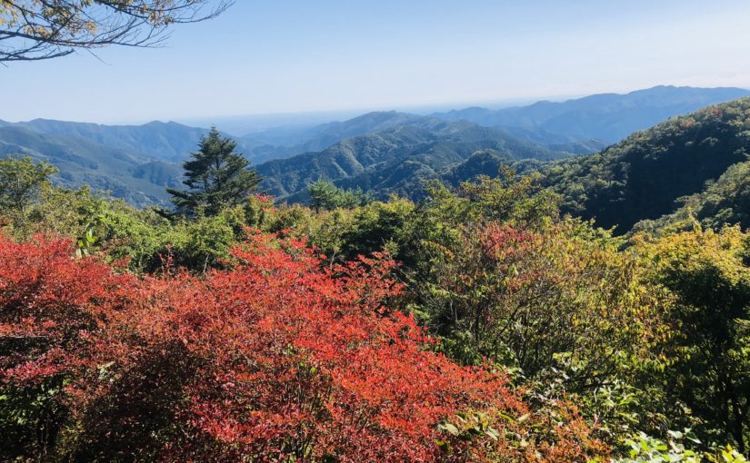
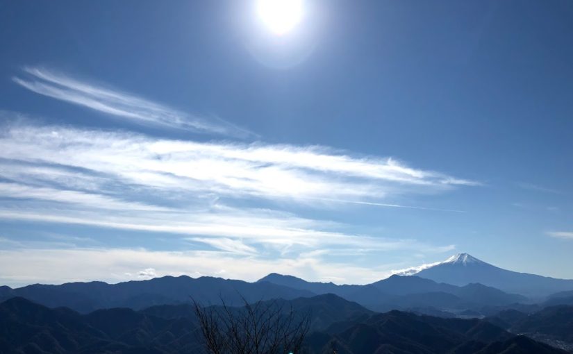
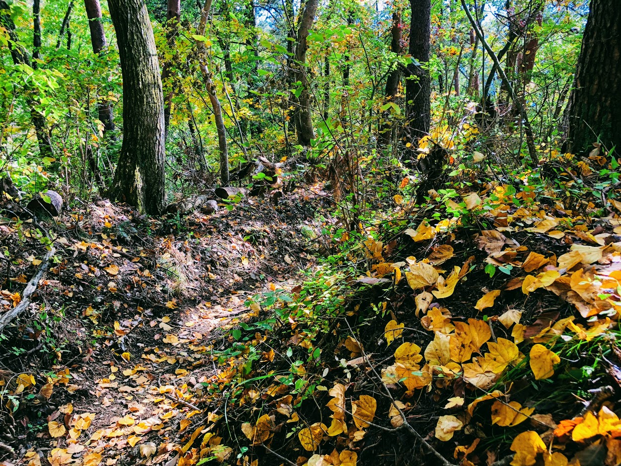
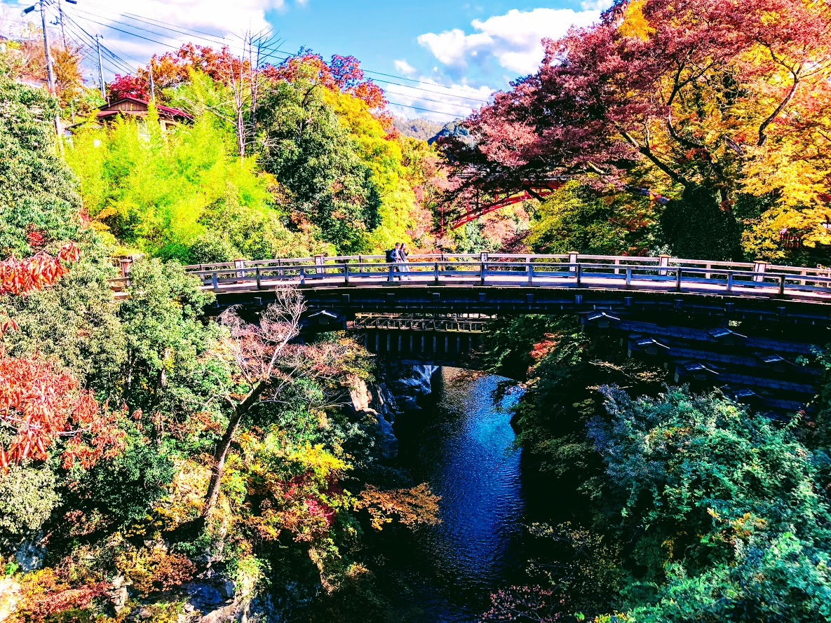
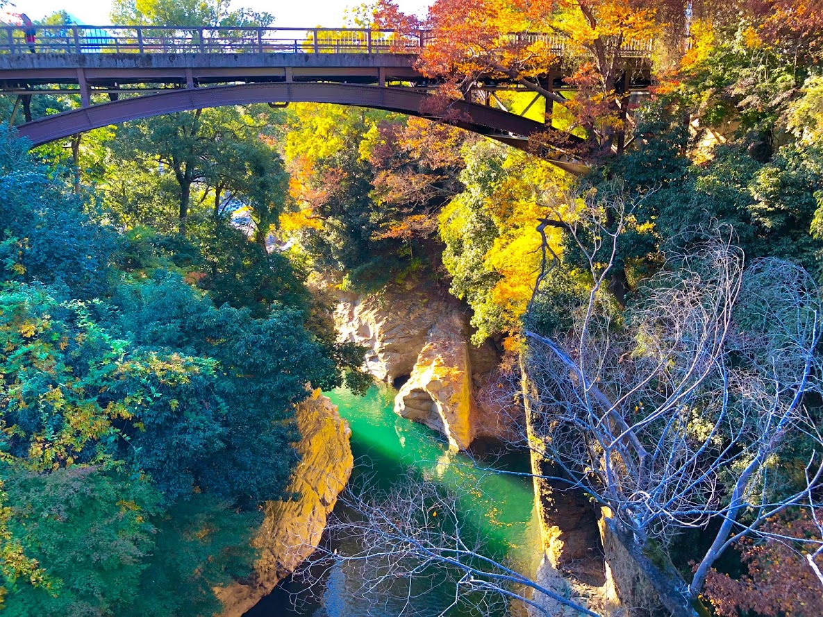
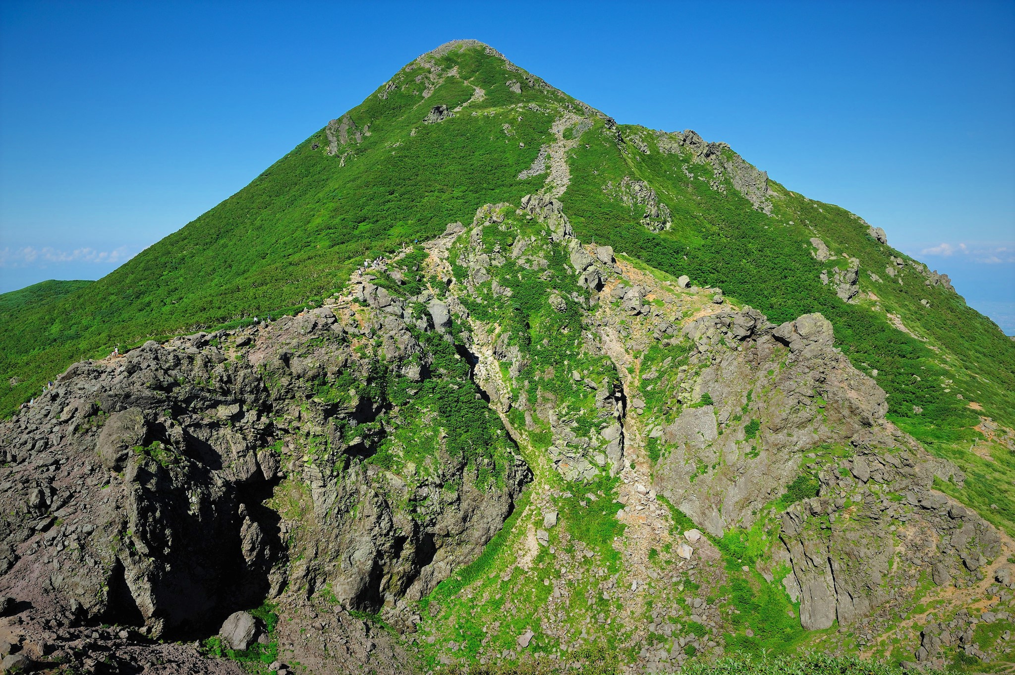
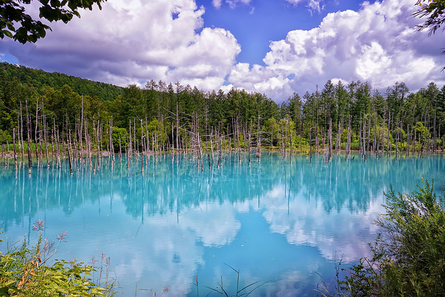
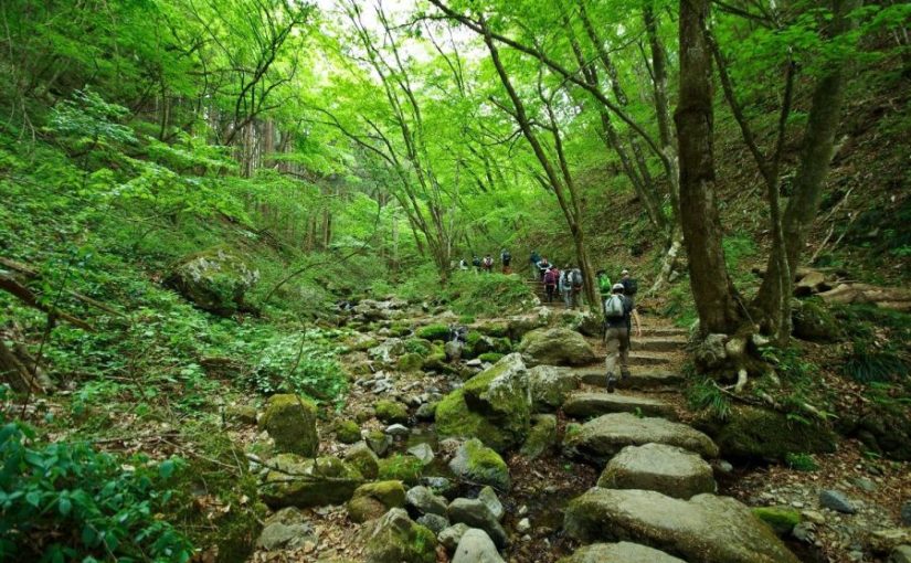
You can enjoy the rich nature through the four seasons, and it is also known that Musasabi is inhabited.

On the top of the mountain is a Shukubo village run by Musashi-Mitake Shrine. The hiking trails are maintained and you can enjoy easy walking.

Difficulty of this hiking:

Physical strength: ★ ☆ ☆ ☆ ☆
hiking Difficulty: ★ ★ ☆ ☆ ☆
Travel distance: 8 km
Walking time: 3 hours 50 minutes
Height difference: 229 m

MEETING PLACE AND TIME:

Ome Line Mitake Station at 9:00 am

ACCESS:

JR Ō me Line Mitake Station → Nishi-Tokyo Bus · “To Cable Shita” (8 minutes), Cable Car Takimoto Station → Mt. Mitake Station (6 minutes)

BELONGINGS:

• Non-slippery shoes for hiking

• water

• Snacks (sandwich, rice balls, chocolate etc …)

• Warm clothes and gloves and hat

• Towel

COURSE:

Mt. Mitake Station → Musashi-Mitake Shrine → Nagao-daira → Tengu Rock →
Rock Garden → Ayahiro Falls → Nagao-daira → Mt. Mitake Station

Waiver of Liability/Disclaimer: Please read before signing up for this event.

These organizers are not professional hikers or trained leaders and are not medically trained to handle emergencies. Hiking is an inherently dangerous activity that can lead to serious injuries including but not limited fall injuries, poison oak. By participation in this event/hike you agree to not hold these organizers liable for any harm that may come to you, or your property. Always remember to let the event organizer know if you are leaving the group. Stay on the trail, never hike alone and use your own common sense.

Booking Now:

Please fill out below form.

( April 13 event ) Hosawa Waterfall and Sengen Rige where Katakuris Bloom

HIKING OVERVIEW:

This event is a hiking for “Hosawa Waterfall” selected as “100 waterfalls in Japan” and “Asama Ridge” where you can enjoy walking ridges for novice hikers with little up / down.

Asama ridge is the season when Katakuri (dogtooth violets) blooms just this season.
Also, because it is cherry blossom season, you may be able to watch them at the same time if you are lucky.
https://www.at-roadside.com/drive/metropolitan/sengenrei3.html

In addition, the Asama Ridge is an important road from old times, called Koshu way, which connects both countries of Bushu and Koshu, in the Edo period was a road for an important life for charcoal transport.

Let’s relax and enjoy hiking while thinking of old time people in spring fresh green trail.

Difficulty of this hiking:

Physical strength: ★ ★ ☆ ☆ ☆
hiking Difficulty: ★ ★ ☆ ☆ ☆
Travel distance: 11.5 km
Walking time: 5 hours
Height difference: 640 m

Meeting place and time:

The meeting place is Musashi-itsukaichi Station on JR Itsukaichi Line, meeting time is 8: 34 am.

From Musashi-itsukaichi Station, we take a bus to “Honjuku-yakubamae”.

The departure time of the bus is 9: 00 am.
The return bus is scheduled for 14: 55 pm.
※ The schedule may change, please be forewarned.

Route advice:

The area around the waterfall is slippery, you can enjoy safer hiking if you bring steigeisen.

BELONGINGS:

• Non-slippery shoes for hiking

• water

• Warm clothes and gloves and hat

SCHEDULE:

Musashi-itsukaichi station 08: 34 → bus departure time 09: 00 → Honjuku-yakubamae Bus Stop 09: 20 → Hosawa Waterfall bus stop 9: 30 → Hosawa Waterfall parking lot 10: 00 → Tosaka Pass 10: 30 → Asama Ridge observation deck 11 : 30 → lunch time → 12: 00 → Henbori Pass 12: 30 → guest‐house Asamazaka 14: 00 → Asamaone Trailhead Bus Stop 14: 45
※ The departure time of the return bus is scheduled for 14:55 PM.
※ We can wait at the Guest House Asama slope until the departure time of the return bus.
※ The schedule may change, please be forewarned.

Waiver of Liability/Disclaimer: Please read before signing up for this event.

These organizers are not professional hikers or trained leaders and are not medically trained to handle emergencies. Hiking is an inherently dangerous activity that can lead to serious injuries including but not limited fall injuries, poison oak. By participation in this event/hike you agree to not hold these organizers liable for any harm that may come to you, or your property. Always remember to let the event organizer know if you are leaving the group. Stay on the trail, never hike alone and use your own common sense.

Booking Now

Please reserve this event from the following Meetups.

https://www.meetup.com/ja-JP/meetup-group-FbeQkvUd/events/259993886/

Hakkōda-san (八甲田山) | 100 Famous Japanese Mountains #011

Walk through beautiful uplands like paradise above clouds in Tōhoku

The flower garden of Narthecium spreading in the marshes area is splendid.

Hakkōda-san has 18 mountains with Ō-dake as the main peak, and many hikers aim to clime Ō-dake. There are marshes around beautiful uplands, and many hikers are visiting from early summer to autumn. Although the altitude is about 1500 m, it is an elegant mountain suitable for “100 Famous Japanese Mountains”.


Detailed Data of Hakkōda-san (八甲田山)

Ido-dake has a large crater.

AREA: Towada city, Aomori city Aomori prefecture, Japan
HIGHEST POINT: 1585 m, Mt. Ō-dake
LEVEL OF COURSE: ★☆☆
PLAN: Day Hike
DURATION: 4 hour 35 minutes
DISTANCE: About 9 km
DIFFERENCE OF ELEVATION: 685 m
ENDURANCE: ★☆☆
DIFFICULTY LEVEL: ★☆☆
BEST SEASON: Mid-June to October


Hakkōda-san’s Hiking Course Map

Hakkōda-san's Hiking Course | When clicked, an enlarged view opens in a separate tab.
Hakkōda-san’s Hiking Course | When clicked, an enlarged view opens in a separate tab.

The source of above the three maps are “Digital Japan Web System” of The Geospatial Information Authority of Japan. The maps were edited a author of this blog.
In Japanese: これらの3枚の地図は国土地理院の電子国土Webシステムから配信されたものをこのブログの著者が加工したものである。


How to travel to Hakkōda-san (Sugayu Hot Spring)

the total amount: about 2680 JPY

Aomori Station (青森駅)
↓↑
JR Bus (about 1 hour and a half): 1340 JPY
↓↑
Sugayu Hot Spring Bus Station (酸ヶ湯温泉バス停)


Inquire:

JR Bus Tōhoku (JR東北バス) 017-773-5722


By Car:

From Tohoku Expressway / Aomori IC via National Route 103, about 28 km from “Hakkōda · Towada Lake Gold Line” to Hakkōda Ropeway


Paking Lot Infomation:

There is a free large parking lot at Sugaya Hot Spring about 100 meters from Lake Towada.


Surrounding Inn:

Sugaya Hotspring Ryokan (酸ヶ湯温泉旅館)

A hot spring built 300 years ago. It is famous for “Hiba Sennin Buro” in the large public bath. There are four bathtubs with different sources, so you can enjoy them slowly.

Tel: 017-738-6400

Fee: 1230 yen with half board, 600 yen Day-use hot springs

Adress: 50 Suyusawa Minami-arakawa-yama Kokuyūrin Arakawa Aomori city, Aomori (青森県青森市荒川南荒川山国有林酸湯沢50」)

Access: Just a short walk from Sugayu Hot Spring Bus Station (酸ヶ湯温泉バス停)


Hot Springs After Hiking

Hotel Jogakura

Official Web Site: https://www.jogakura.com/en/

Northern European style hotel surrounded by beech forests facing mountain stream.
Clear air has a pleasant outdoor bath.
Accommodation is also available.

Tel: 017-738-0658

Adress: Hakkōda-san-chu Arakawa, Aomori (青森県青森市荒川八甲田山中)

Opening hour: 11:30 am – 4:00 pm

Fee: 1000 JPY for day-use hot springs

Access: Just a short walk from Jogakura Hot Spring Bus Stop (城ヶ倉温泉バス停) on foot.

百蔵山 | 絶景の富士山と不思議な鉱泉、渓谷美に映える奇妙な橋が楽しいコース

百蔵山の詳細情報

難易度: ★ ★ ☆ ☆ ☆
トレイル出現率: ★ ★ ☆ ☆ ☆
スタート: 猿橋駅
ゴール: 猿橋駅
距離: 13 km
標高: 1003.4 m
高低差: 683 m
歩行時間: 4時間半

百蔵山コースガイド

trail of momokura mount
Trail of momokura mount
  1. 猿橋駅
  2. 福泉寺
  3. 百蔵山
  4. 百蔵山登山口バス停
  5. 湯立人鉱泉
  6. 猿橋
  7. 猿橋駅

百蔵山地図

百蔵山の地図 | クリックすると別タブで拡大図が開きます。

百蔵山へのアクセス方法

JR猿橋駅の北口
JR猿橋駅の北口

新宿駅を出発した場合

新宿

中央線: 53 分

高尾駅

中央本線: 32 分

猿橋駅

交通費
2640 円 (往復)

百蔵山のアドバイス

山頂を過ぎてからの急坂は木や突き出した岩につかまり注意してゆっくり進みましょう。
滑りやすいので登山靴かハイキングブーツがお勧めです。
もし隣の扇山まで縦走するなら鳥沢駅まで4時間はみてください。

百蔵山の特徴

富士山を背景に山頂でのグループフォト
富士山を背景に山頂でのグループフォト

百蔵山はJR猿橋駅からバス等を使わず直接ハイキングを楽しめるのでハイカーに人気です。山頂から見事な富士山が見られるのも人気の秘密です。
百蔵山には5つのハイキングコースがありますがこのブログでは猿橋駅から葛野川を渡り福泉寺から山頂に進むルートをご紹介いたします。

ハイキングコースの終点には「ゆたんど鉱泉」と呼ばれるミステリアスな雰囲気の温泉と、渓谷美の見事な猿橋よ呼ばれる橋もご紹介いたします。

猿橋駅北口から出発し桂川を渡ると百蔵山が見えてきます。
そのまままっすぐ行けば百蔵山登山口ですがここでご紹介するのは左に曲がり葛野川沿いに進むコースです。
この川沿いのコースには左に岩殿山、右に百蔵山を長めな側進むことが出来ます。

暫く進むと再び舗装された道路に出ます、やがて左に福泉寺が見えてきます。
福泉寺の門の前の道を左に曲がり集落の中をしばらく進むとトレイルに入ります。

岩殿山と集落を眼下にとらえながら心地の良いトレイルを進みます。
小さな祠を過ぎると急峻な坂道が暫く続きますがここを過ぎる比較的緩やかな尾根道が続き頂上です。

福泉寺から百蔵山の頂上にはおよそ2時間ほどで到着します。
頂上は広場になっていています。
何故かハイカーさん達は皆さん同じ方向を向いてランチを食べています。
そうです、皆さん富士山の方向を見ながら食事を楽しんでいるのですね。
百蔵山の山頂からは秀麗富嶽十二景に選出され、天気が良ければ見事な富士山を見ることが出来ます。

頂上を過ぎて暫く進むと右に曲がり、このコースで一番の急坂が現れます。
ここは転ばないようにゆっくり慎重に進んでください。
およそ1時間で百蔵山登山口バス停に到着します。

最後の目的地である「ゆたんど鉱泉」は見た目は個人宅のような不思議な温泉です。
最近は週末の土曜と日曜しか営業していないようですがシャワーと天然温泉と広い休息室でゆっくり休めます。入浴料は1000円です。私達が伺った時はサービスでお漬物を出して頂きました。

ひとっ風呂浴びてすっきりしたら、近所の猿橋に立ち寄ることをお勧めします。
この橋は江戸時代に日本三奇橋として有名になりました。

百蔵山ハイキングの後は…

Yutando Kosen 湯立人鉱泉
湯立人鉱泉

湯立人鉱泉

湯立人鉱泉は民家のような外観から温泉とは気が付かないかもしれません、しかし300年前から続く由緒ある鉱泉なのです。

営業時間: 12 時 – 17 時
営業日: 土曜、日曜のみ
アクセス: 猿橋駅北口から徒歩15分
電話: 0554-22-0622

猿橋

紅葉の猿橋
紅葉の猿橋

浮世絵師 歌川広重が描いた甲陽猿橋之図

猿橋は江戸時代「日本三奇橋」として有名になりました。
その奇妙な構造は、当時の大工があまりにも深い渓谷で難航していたところ、
多くの猿が連なって対岸に渡る姿をヒントに建設された伝説があります。

歌川広重は1841年にこの猿橋に訪れ「甲陽猿橋之図」を完成させています。
縦に長い斬新な構図で広重作品の傑作と謳われています。

甲陽猿橋之図(こうようさるはしのず)|  歌川広重  (1797–1858 )
甲陽猿橋之図(こうようさるはしのず)| 歌川広重 (1797–1858 )
猿橋から見た紅葉の渓谷
猿橋から見た紅葉の渓谷

Mount Iwaki (岩木山) | 100 Famous Japanese Mountains #010

Famous Peak of Tugaru being loved by locals with beautiful mountain range

Mt. Iwaki form 9th station. Climb up a steep slope and head to the summit.

Mt.Iwaki is in the middle of the Tsugaru plain, a mountain loved by locals for a long time. Because the shape of the mountain changes greatly depending on the viewing angle, they boast that “the shape that can be seen from my town is the best”. The Iwaki shrine built at the foot of the mountain is called “The Nikkō of the North” because it is gorgeously decorated. On the top of the mountain Iwaki rear shrine is enshrined.


Detailed Data of Mount Iwaki (岩木山)

On the top of the mountain Iwaki rear shrine is enshrined.

AREA: Hirosaki city, Aomori prefecture, Japan
HIGHEST POINT: 1625 m, Mt. Iwaki
LEVEL OF COURSE: ★☆☆
PLAN: Day Hike
DURATION: 1 hour 55 minutes
DISTANCE: About 2 km
DIFFERENCE OF ELEVATION: 375 m
ENDURANCE: ★☆☆
DIFFICULTY LEVEL: ★☆☆
BEST SEASON: Mid-June to October


Mt. Iwaki’s Hiking Course Map

Mt. Iwaki's Hiking Course Map | When clicked, an enlarged view opens in a separate tab.
Mt. Iwaki’s Hiking Course Map | When clicked, an enlarged view opens in a separate tab.

The source of above the three maps are “Digital Japan Web System” of The Geospatial Information Authority of Japan. The maps were edited a author of this blog.
In Japanese: これらの3枚の地図は国土地理院の電子国土Webシステムから配信されたものをこのブログの著者が加工したものである。


How to travel to Mt. Iwaki 8 Station (Sky Line Lift Station)

the total amount: about 4080 JPY

Hirosaki Station (弘前駅)
↓↑
Konan Bus (about 1 hour): 1040 JPY
↓↑
Dake Hot Spring Bus Station (岳温泉前バス停)
↓↑
Konan Bus Shuttle Bsu (about 30 minutes): 1000 JPY
↓↑
Sky Line 8th Bus Station (スカイライン八合目バス停)


Inquire:

Konan Bus (弘南バス) 0172-36-5061


By Car:

It is approximately 33km from Tohoku Expressway · Hirosaki Owani IC.
Tsugaru Iwaki Skyline up to the 8 station.
The price of the skyline is 1,800 yen.


Paking Lot Infomation:

the 8 station has a free parking lot.


Surrounding Inn:

Yama-no Holel (山のホテル)

There is a hot spring with strong smell of sulfur. Large bath tub made of natural cypress can relax slowly. There is a souvenir shop in front of the hotel.

Tel: 0172-83-2329

Opening: Mid-June to Mid-October

Fee: 10950 yen with half board, 500 yen Day-use hot springs

Adress: 19 Tokiwano Yunosawa Hirosaki city, Aomori (青森県弘前市常盤野湯ノ沢19)

Access: Just a short walk from Gaku Hot Spring Bus Stop (岳温泉バス停)


Hot Springs After Hiking

Asobe no Mori Iwaki Sō (アソベの森 いわき荘)

Official Web Site: http://www.iwakisou.or.jp/en/index.html

If you slowly soak in Hyakusawa Hot Spring which is known as “Netu no Yu” and has been popular with local people for a long time, you will heal the tiring of hiking.

Tel: 0172-83-2215

Adress: 28-29 Terasawa Hyakuzawaji ōji Hirosaki city, Aomori (青森県弘前市大字百沢字寺沢28-29)

Opening hour: 9:00 am – 4:00 pm

Closed: Open Year Around

Fee: 1020 JPY

Access: Just a short walk from Iwaki-sō Bus Stop (いわき荘前バス停) on foot.

Mount Yōtei (羊蹄山) | 100 Famous Japanese Mountains #009

Walking through the alpine plants trail designated as national nature treasure

There is snow until the beginning of July. Foot also until May.

Mt.Yōtei (羊蹄山) is an independent mountain which have a conical shaped summit. It boasts a beautiful shape and size suitable for being called “Ezo-Fuji”. Once it was also called “Shiribeshi-yama”.
As Alpine plants are abundant, the trail is designated as a national nature treasure, and if you choose Kucchan Course you will proceed through the nature trail.
The top of the mountain is a crater, hikers go around here. Snow will also disappear in mid-July, alpine plants will bloom.


Detailed Data of Mount Yōtei (羊蹄山)

The vast crater of the summit is commonly called "father kiln" (父窯).
The vast crater of the summit is commonly called “father kiln” (父窯).

AREA: Makkari village Niseko cho / Kyōgoku cho / Kimobetsu cho, Hokkaido
HIGHEST POINT: 1898 m, Mt. Yōteizan
LEVEL OF COURSE: ★★☆
PLAN: a trip for 1 nights and 2 days
DURATION: 1st day: 4 hours and 50 minutes, 2nd day: 4 hours and 50 minutes
DISTANCE: About 17 km
DIFFERENCE OF ELEVATION: 1668 m
ENDURANCE: ★☆☆
DIFFICULTY LEVEL: ★★☆
BEST SEASON: July to September


Mt. Yōtei’s Hiking Course Map

Map of Mt. Yōtei | Click on the image above to open the enlarged image in a separate tab.

The source of above the three maps are “Digital Japan Web System” of The Geospatial Information Authority of Japan. The maps were edited a author of this blog.
In Japanese: これらの3枚の地図は国土地理院の電子国土Webシステムから配信されたものをこのブログの著者が加工したものである。


How to travel to Mt. Poroshiridake’s Trailhead (Second Gate)

the total amount: about 890 JPY

The Way There

Kucchan Station (倶知案駅)

Niseko Bus / Dōnan Bus (about 10 minutes): 230 JPY

Yōtei Trailhead Bus Station (羊蹄登山口バス停)

The Way Back

Yōtei National Park Entrance Bus Station (羊蹄自然公園入口バス停駅)

Dōnan Bus (about 30 minutes): 660 JPY

Kucchan Station (倶知案駅)


Inquire:

Niseko Bus (ニセコバス) 0136-44-2001

Dōnan Bus Kucchan Sales Official (道南バス倶知案営業所) 0136-22-1558


By Car:

From Chitose (Chitose) via Shikotu Lake (支笏湖), take Route 276 via Bifue Tōge (美笛峠) to Mt. Yōtei Trailhead (羊蹄山登山口)


Paking Lot Infomation:

Half Moon Campground (半月湖キャンプ場) has a parking lot (about 15 units)


Lodging Facility:

Yōtei-zan Hinangoya (羊蹄山避難小屋)

Newly built mountain lodge in 2013.
Water and meals are not provided, but you can rent shruffs and blankets.

Tel: 0136-23-3388 (Kucchan Chō Tourism Division)

Opening: Mid-June to Mid-October

Fee: 1000 yen per night, rest 300 yen, blanket 200 yen, sleeping bag 300 yen

Capacity: about 20 people


Hot Springs After Hiking

Makkari Hot Spring (まっかり温泉)

Official Web Site: http://www.makkarionsen.com/

A hot spring looking up Mt.Yōtei from the south. From the outdoor bath you can see the Makkari Course where you came down.

Tel: 0136-45-2717

Adress: 174-3 Midorioka Makkari village, Hokkaido

Opening hour: 10:30 am – 9:00 pm

Closed: Monday (If it is a holiday the next day)

Fee: 500 JPY

Access: 30 minutes from Makkari village Bus Stop (真狩村バス停) on foot

Mount Poroshiri-dake (幌尻岳) | 100 Famous Japanese Mountains #008

Walking while enjoying the scenery created by active volcanoes

Hiker walks the floor of the cirque under Poroshiri-dake to the summit.

Mt.Poroshiri (幌尻岳) which is also selected as “100 famous japanese mountains” at the highest peak of Hidaka Range. Mt.Poroshiri, which is said to be the most difficult mountain of “100 famous japanese mountains” is a mountain for skilled hikers where difficult trails like dozens of wading across rivers and climbing steep slopes follow.
However, it is must-sees for the superb ridgeline that extends beyond the difficult trail and “Nanatsunuma” selected for “Japan’s top 100 geological selections”! You can see various animals on the ground where the flower garden spreads. In this article I will introduce representative courses and spots of Mt.Poroshiri.


Detailed Data of Mount Poroshiri-dake (幌尻岳)

Hikers cross the Nukabira River tens of times and heads to Poroshiri-sansō.

AREA: Niikappu cho Biratori cho, Hokkaido
HIGHEST POINT: 2052 m, Mt. Poroshiridake
LEVEL OF COURSE: ★★★
PLAN: a trip for 2 nights and 3 days
DURATION: 1st day: 4 hours and 40 minutes, 2nd day: 7 hours and 10 minutes, 3rd day: 4 hours and 20 minutes
DISTANCE: About 23 km
DIFFERENCE OF ELEVATION: 1522 m
ENDURANCE: ★★☆
DIFFICULTY LEVEL: ★★★
BEST SEASON: July to September


Mt.Tomuraushi’s Hiking Course Map

Map of the Nukabira River Route | Click on the image above to open the enlarged image in a separate tab.
Map of the Nukabira River Route (額平川ルート) | Click on the image above to open the enlarged image in a separate tab.

The source of above the three maps are “Digital Japan Web System” of The Geospatial Information Authority of Japan. The maps were edited a author of this blog.
In Japanese: これらの3枚の地図は国土地理院の電子国土Webシステムから配信されたものをこのブログの著者が加工したものである。


How to travel to Mt. Poroshiridake’s Trailhead (Second Gate)

the total amount: about 1310 JPY

Tomikawa Station (富川駅)

Dōnan Bus (about 1 hour): 1310 JPY
↓↑
Toyonuka sansō (とよぬか山荘)

Shuttle Bus (one way, about 1 hour): Round trip fare 4000 JPY
↓↑
Second Gate (第2ゲート)

From Toyonuka sansō, traffic to general vehicles is prohibited.
Hikers use a private shuttle bus.
From the 2nd gate is a walk only.


Inquire:

South Hokkadō Bus Biratori Sales Office (道南バス平取営業所) 01457-2-2311

Furenai Kōtsū (振内交通) 01457-3-3021

Biratori Taxi (平取ハイヤー) 01457-2-3181

Toyonuka sansō (とよぬか山荘) 0145-7-33568


By Car:

From Biratori cho Honcho (平取町本町) toward Hidaka (日高) 40 minutes, after Furenai city (振内市街), there is a sign of “Poroshiri Trailhead” (幌尻岳登山入り口) in the branch of Niseu (仁世宇). From there about 20 minutes you arrive at Toyonukasō (とよぬか山荘).


Paking Lot Infomation:

Toyonukasō has public car park (about 50 units)


Lodging Facility:

Poroshiri sansō (幌尻山荘)

At Mountain lodge where reservation is not without meals. There is no meal or bedding so let’s prepare yourself. The reservation reception starts from April 1.

Tel: 01457-3-3838

Opening: June 1 to September 30

Fee: 1500 (without meals)


Hot Springs After Hiking

Biratori Hot Spring Yukara (びらとり温泉 ゆから)

Official Web Site: http://www.biratori-onsen.com/

The lily’sa habitat is right next to and is a hot spring accommodation that is perfect for healing tiredness of hiking.
Day bathing is also possible.

Tel: 01457-2-3280

Adress: 92-6 Nibutani Biratori cho, Hokkaido

Opening hour: 10:00 am – 9:30 pm

Closed: open all year arond

Fee: 420 JPY

Access: Immediately from Biratori Onsen Mae Bus Stop (平取温泉前バス停)

Mount Tokachi (十勝岳) | 100 Famous Japanese Mountains #007

Walking while enjoying the scenery created by active volcanoes

Volcanic gravel and volcanic routes follow towards Mt. Tokoki.

Mount Tokachi (十勝岳) is the main peak of the Tokachi mountain range, and active volcanoes where volcanic activity is still active now. The crater which send up great volumes of smoke and the mountain views of narrow ridge are peculiar, it is a mountain popular with hikers. From the summit you can see the mountains of Hidaka and Mt. Tomuraushi, Mt. Daisetuzan.


Detailed Data of Mount Tokachi (十勝岳)

Mt.Tokachi is a unique landscape like a moon.

AREA: Shintoku cho Kami-furano cho Biei cho, Hokkaido
HIGHEST POINT: 2077 m, Mt. Tokachi
LEVEL OF COURSE: ★★☆
PLAN: day hike
DURATION: 6 hours and 55 minutes
DISTANCE: About 10 km
DIFFERENCE OF ELEVATION: 1147 m
ENDURANCE: ★★☆
DIFFICULTY LEVEL: ★☆☆
BEST SEASON: July to September


Mt.Tomuraushi’s Hiking Course Map

Mt. Tokachi's Hiking Course (トムラウシ短縮コース) | Click on the image above to open the enlarged image in a separate tab.
Mt. Tokachi’s Hiking Course | Click on the image above to open the enlarged image in a separate tab.

The source of above the three maps are “Digital Japan Web System” of The Geospatial Information Authority of Japan. The maps were edited a author of this blog.
In Japanese: これらの3枚の地図は国土地理院の電子国土Webシステムから配信されたものをこのブログの著者が加工したものである。


How to travel to Mt. Tokachi’s Trailhead

the total amount: about 14000 JPY

Biē Station (美瑛駅)

Taxi (about 35 minutes): 7000 JPY

Bougakudai (望岳台)

From Shirogane Onsen Bus Stop (白銀温泉バス停) it is possible to get to Bougakudai in about 1 hour and 10 minutes on foot.
North Hokkaido Bus General information (道北バス総合案内) 0166-23-4161

Inquire:

Biē Taxi (美瑛ハイヤー) 0166-92-1181

By Car:

From Asahikawa, take national road No. 237 south, in Biei, take road 966 towards Shirogane Hot Spring, and 52 km to Shirogane Hot Spring. It is 3 km further to Bougakudai.

Paking Lot Infomation:

Bougakudai has public car park (about 40 units)


Hotel:

Daisetsuzan Shirogane Tourist hotel (大雪山白金観光ホテル)

Accommodation in Shirogane Onsen.
A day-long bathing plan of 1300 yen with a meal is recommended.

Tel: 0166-94-3111

Opening: late June to late September

Fee: Need to confirm

Official Web Site: http://www.shirogane-kankou.com/

Access: Immediately from the shirogane hot spring bus stop


Hot Springs After Hiking

Kokumin Hoyō Center (国民保養センター)

Official Web Site: http://town.biei.hokkaido.jp/facility/hoyou.html

One day bathing facilities in Shirogane Onsen.
It is also popular with locals at 100% natural hot springs.

Tel: 0166-94-3016

Adress: Shirogane Onsen Biē cho, Hokkaido

Opening hour: 9:30 am – 8:00 pm

Closed: Monday

Fee: 300 JPY

Access: Immediately from Hoyō Center Bus Stop


Sightseeing Area

Shirogane Blue Pond (白金青い池)

SHIROGANE BLUE POND (白金青い池)

The pond called “Biē Blue” from the color of the beautiful blue lake surface. The river containing the hot spring ingredients is making beautiful colors.

Adress: Shirogane Biē cho, Hokkaido

Access: About 2.5 Km from Shirogane Hot Spring

Parking Lot: about 100 units

Mount Tomuraushi (トムラウシ山) | 100 Famous Japanese Mountains #006

A Course of Popular Mountain in Daisetsuzan National Park

Sceneries like Hokkaido where rocks and snow are beautiful

Mt. Tomuraushi (トムラウシ山), located in the middle of Daisetsuzan National Park, is a long course that goes back and forth about 15 km from ”the Tomuraushi hot spring climbing course”.
Complex terrain and snowy and alpine plants brought by rich natural environment are unbelievably beautiful.
It gives you the pleasure of bliss that deserves hardship of the long trail.


Detailed Data of Mount Tomuraushi (トムラウシ山)

Mt. Tomurashi from the summit of Mt. Asahidake

AREA: Shintoku cho Biei cho, Hokkaido
HIGHEST POINT: 2141 m, Mt. Shari
LEVEL OF COURSE: ★★★
PLAN: day hike
DURATION: 11 hours and 50 minutes
DISTANCE: About 15 km
DIFFERENCE OF ELEVATION: 1181 m
ENDURANCE: ★★★
DIFFICULTY LEVEL: ★★☆
BEST SEASON: July to September


Mt.Tomuraushi’s Hiking Course Map

Mt. Tomuraushi's Hiking Course (トムラウシ短縮コース) | Click on the image above to open the enlarged image in a separate tab.
Mt. Tomuraushi’s Hiking Course (トムラウシ短縮コース) | Click on the image above to open the enlarged image in a separate tab.

The source of above the three maps are “Digital Japan Web System” of The Geospatial Information Authority of Japan. The maps were edited a author of this blog.
In Japanese: これらの3枚の地図は国土地理院の電子国土Webシステムから配信されたものをこのブログの著者が加工したものである。


How to travel to Mt. Tomuraushi’s Trailhead

the total amount: about 32000 JPY

Shintoku cho Station (新得町駅)

Taxi (about 1 hour and 30 minutes): 16000 JPY

Mt. Tomuraushi’s Trailhead (トムラウシ短縮コース)

There is a service of “Tomuraushi Hot Spring Bus” for a limited time from July to August. It is approximately one and a half hours from Shintoku Station to Tomuraushi Hot Spring. Reservations are required.
Hokkaido Takushoku Bus (北海道拓殖バス) 0156-64-5202

Inquire:

Shintoku Taxi (新得ハイヤー) 0156-64-5202

By Car:

From Shintoku Station via Route 718 about 60 km.
Please note that the vicinity is unpaved.

Paking Lot Infomation:

There is a public car park (50 units)


Hotel:

Higashi Daisetu Sō (東大雪荘)

An inexpensive hotel operated by a local government.
It was renewed in 2008. A large outdoor bath along the mountain stream and a spacious bath are reputed.

Tel: 0152-25-4111

Opening: late June to late September

Fee:
9870 JPY – / 1 person with dinner and breakfast per night
・Prices change according to the season
・2 people in one room

Official Web Site: http://www.tomuraushionsen.com/

Access: 1 hour and 30 minutes from Shintoku Station by car


Hot Springs After Hiking

Hotel Kuttari Hot Spring Lake-In (湯宿くったり温泉 レイクイン)

Official Web Site: https://www.lakeinn.jp/

A resort hotel on the bank of Lake Kuttari.
You can enjoy a spacious outdoor bath and an inner bath.

Tel: 0156-65-2141

Adress: 808 Kuttari Shintoku cho, Hokkaido

Opening hour: 12:00 am – 10:30 pm (it’s depend on seasons)

Closed: Request inquiry

Fee: 480 JPY

Access: 20 minutes from Shintoku Station by car.

Hot Spring Osoushi sHIKANO-YU Sō (オソウシ温泉 鹿乃湯荘)

Official Web Site: http://osoushi.foodsnet.net/

Accommodation along Osoushi River. The strong alkaline ion’s hot water is comfortable.

Tel: 0156-65-3338

Adress: 330 Osoushi-Shikanosawa Shintoku cho, Hokkaido

Opening hour: 10:00 am – 8:00 pm

Closed: Request inquiry

Fee: 600 JPY

Access: 40 minutes from Shintoku Station by car.

Mount Shari (斜里岳) | 100 Famous Japanese Mountains #005

Hike to the mountain called On-nepuri “big mountain” in Ainu language

Mt.Sharidake's view from Kiyosato cho, this is a big mountain connected to the south Mt.shari and Mt.Onnebetsu, Mt.Unabetsu.
Mt.Sharidake’s view from Kiyosato cho, this is a big mountain connected to the south Mt.shari and Mt.Onnebetsu, Mt.Unabetsu.

Mt. Shari (斜里岳) is a volcano at the bottom of Shiretoko Peninsula in Hokkaido.
It is a beautiful mountain of independent peak like Mt. Fuji.
In this article I will introduce the Kiyosato course which most hikers choose.
In this course you will cross the small waterfalls of Ichiosawa River left and right to Kami-Futamata, you can enjoy river trekking.
You can also see the Shiretoko mountain ranges and Akan mountain ranges from the summit. You go down a new road while looking to the wonderful view of Mt.Shari.


Detailed Data of Mount Shari (斜里岳)

Walking while enjoying a beautiful waterfalls such as Seven-fold waterfall (七重の滝).

AREA: Shari cho Kiyosato cho, Hokkaido
HIGHEST POINT: 1547 m, Mt. Shari
LEVEL OF COURSE: ★★★
PLAN: day hike
DURATION: 7 hours and 20 minutes
DISTANCE: About 10 km
DIFFERENCE OF ELEVATION: 867 m
ENDURANCE: ★★☆
DIFFICULTY LEVEL: ★★☆
BEST SEASON: July to September


Mt.Rausu’s Hiking Course Map

the Kiyosato course (清里コース) | Click on the image above to open the enlarged image in a separate tab.

The source of above the three maps are “Digital Japan Web System” of The Geospatial Information Authority of Japan. The maps were edited a author of this blog.
In Japanese: これらの3枚の地図は国土地理院の電子国土Webシステムから配信されたものをこのブログの著者が加工したものである。


How to travel to Rishiri Island

the total amount: about 8000 JPY

Kiyosato cho Station

Taxi (about 30 minutes): 4000 JPY

Seigaku sou

Inquire:

Kiyosato Taxi (清里ハイヤー) 0152-25-2538

By Car:

From Memanbetsu via Route 39 and Route 334 about 70 km

Paking Lot Infomation:

40 units at Seigaku sou


Lodging Facility and Hotel:

Seigaku Sou (清岳荘)

A lodge located nearby trailhead. Let’s ask them because they provide information on Mt.Shari even if you are not a guest.

Tel: 0152-25-4111

Opening: late June to late September

Fee:
2050 JPY / per 1 person (staying without meals)
300 JPY / Bedding rental

Maximum Capacity: 50 people

Adress: Kōnan Kiyosato cho, Hokkaido

Access: 30 minutes from Kiyosato Station by car


Hot Springs After Hiking

Papasu Land Sattsuru (パパスランド さっつる)

There are the hot spring facility with foot baths and open-air baths, normal inside bathes. Local vegetables and special products are also on sale.

Opening hour: 10:00 am – 21:00 pm

Closed: No holiday

Fee: 390 JPY

Access: 10 minutes from Sattsuru Station (札弦駅) on foot.