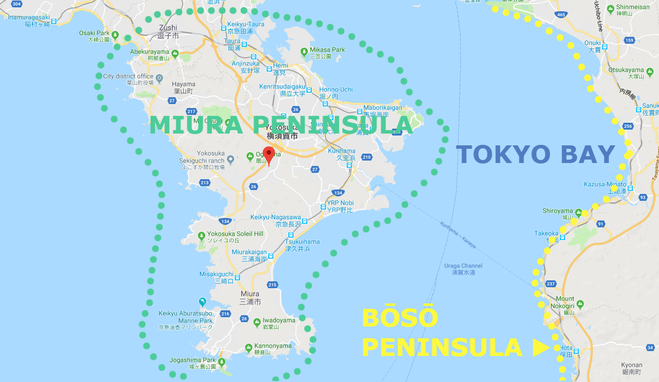
Area: Hachiōji city, Tokyo, Japan
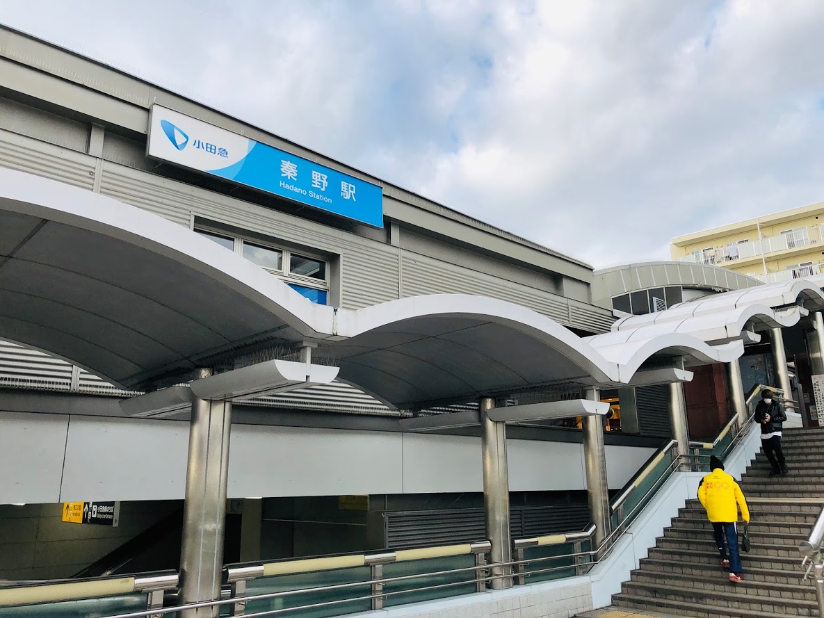
Access: Fujino Station (Fujino-eki, 藤野駅) on the Chūō Main Line of East Japan Railway Company, board a bus bound for Wada (和田) for 5 minutes, get off at Jimba trailhead (Jimba-tozanguchi, 陣馬登山口)
Start: Jimba trailhead bus station (Jimba-tozanguchi, 陣馬登山口)
Goal: Jimba trailhead bus station (Jimba-tozanguchi, 陣馬登山口)
Difficulty of this trail: ★ ☆ ☆ ☆ ☆
Trail appearance rate: ★ ★ ★ ☆ ☆
Total distance: 9 km
Total difference in elevation: 661 m
Walking time: 4 hours and 40 minutes
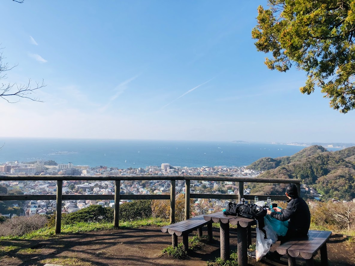
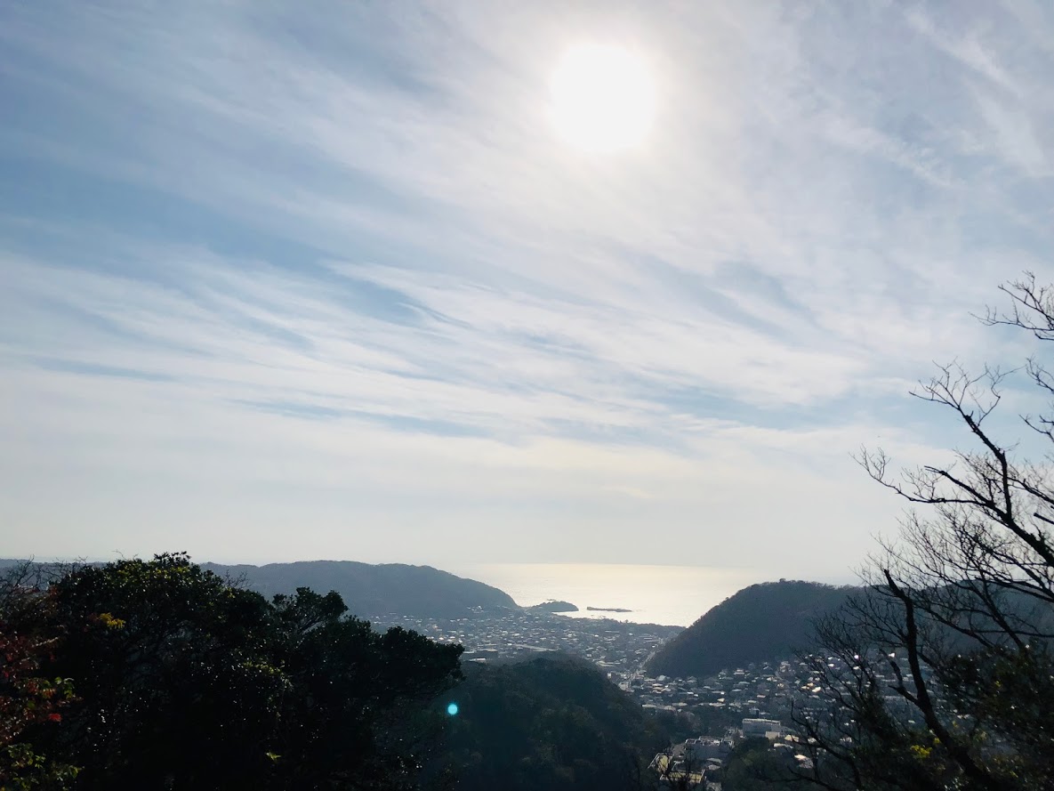
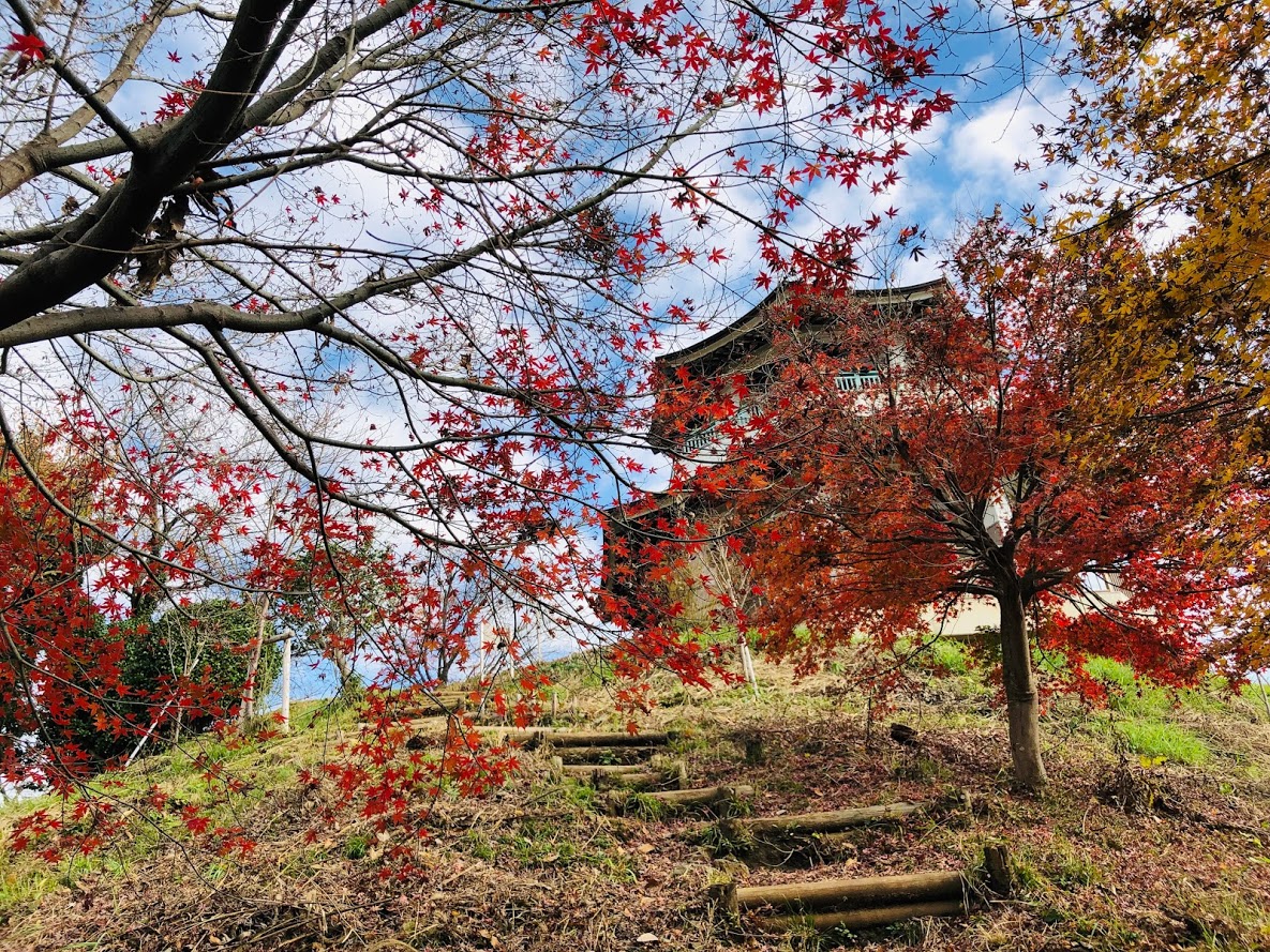
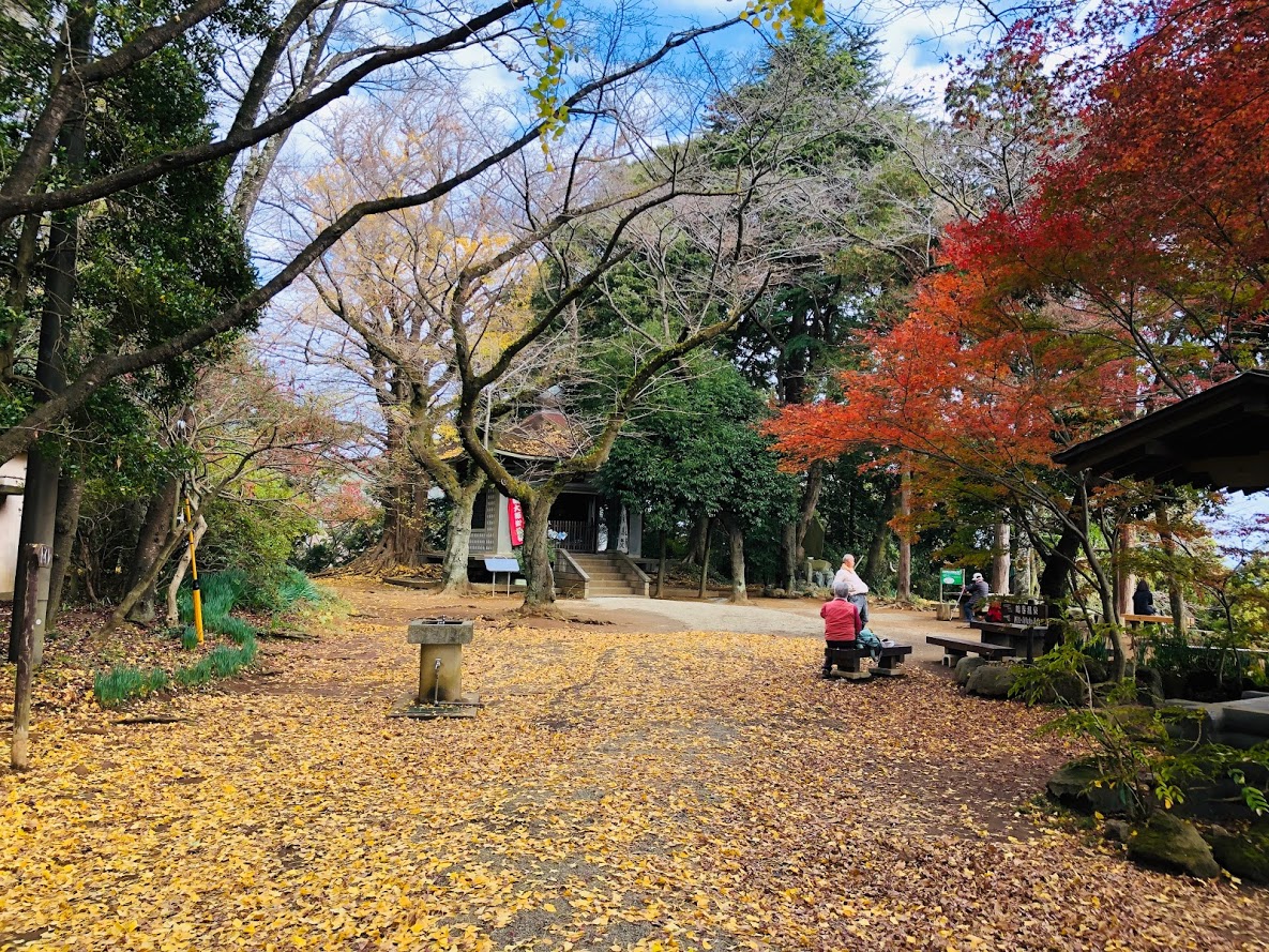
Point of interest: Good views of surrounding mountains (including Mt. Fuji and the Knatō Plain) , a bowl of soba noodles at restaurants of the summit, mountain village, hot spring, Japanese macaque (in winter).
Access to Jimba trailhead bus station (Jimba-tozanguchi, 陣馬登山口)
Please refer to the following for detailed access method.
In Case of Using Train and Bus
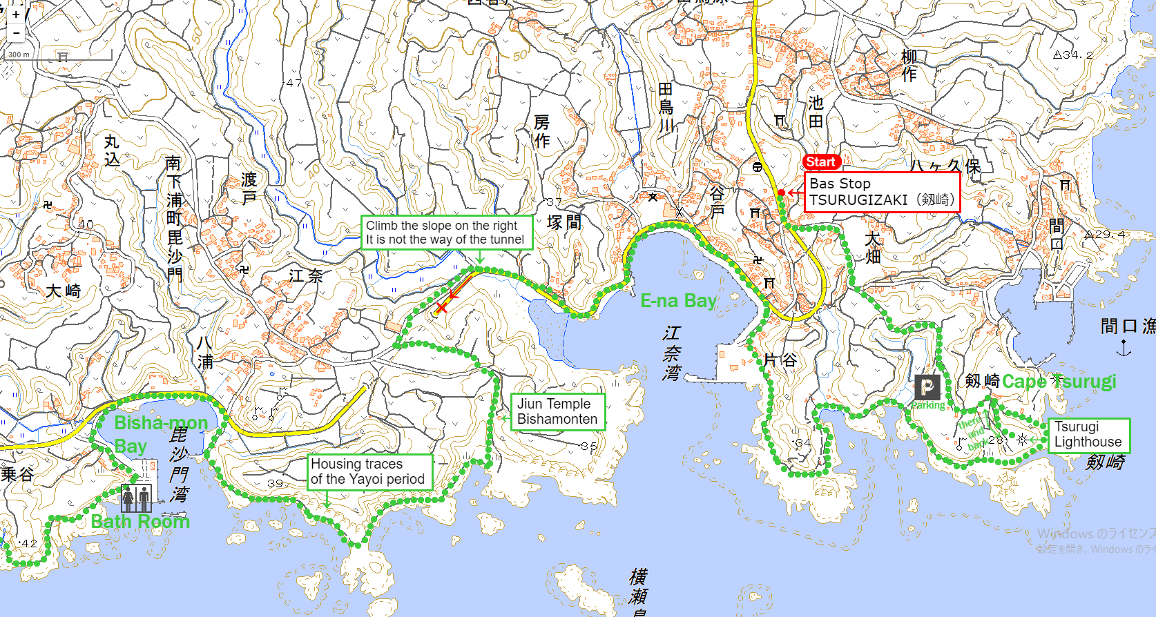
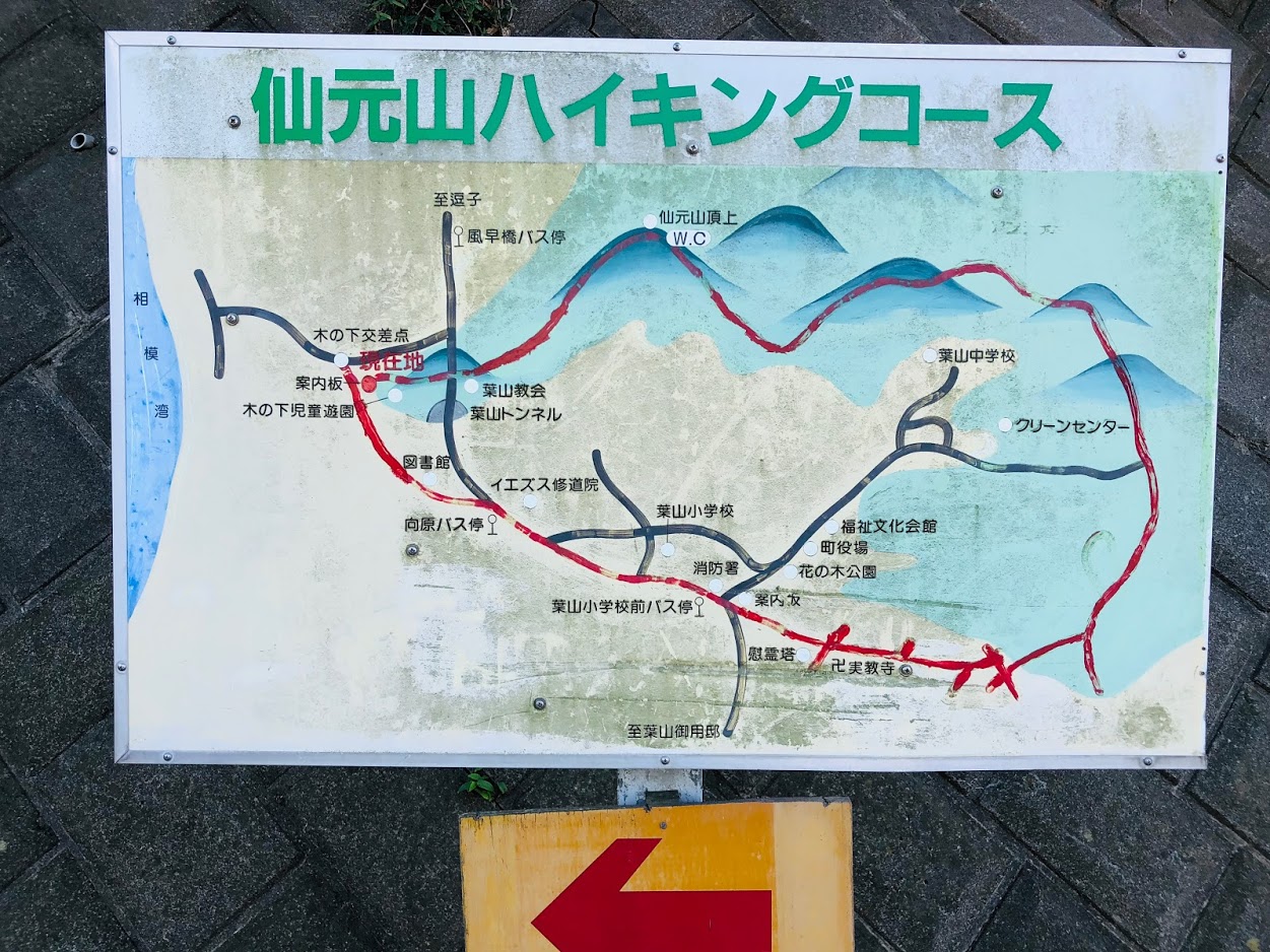
A Map of Mt. Jimba Hiking Route
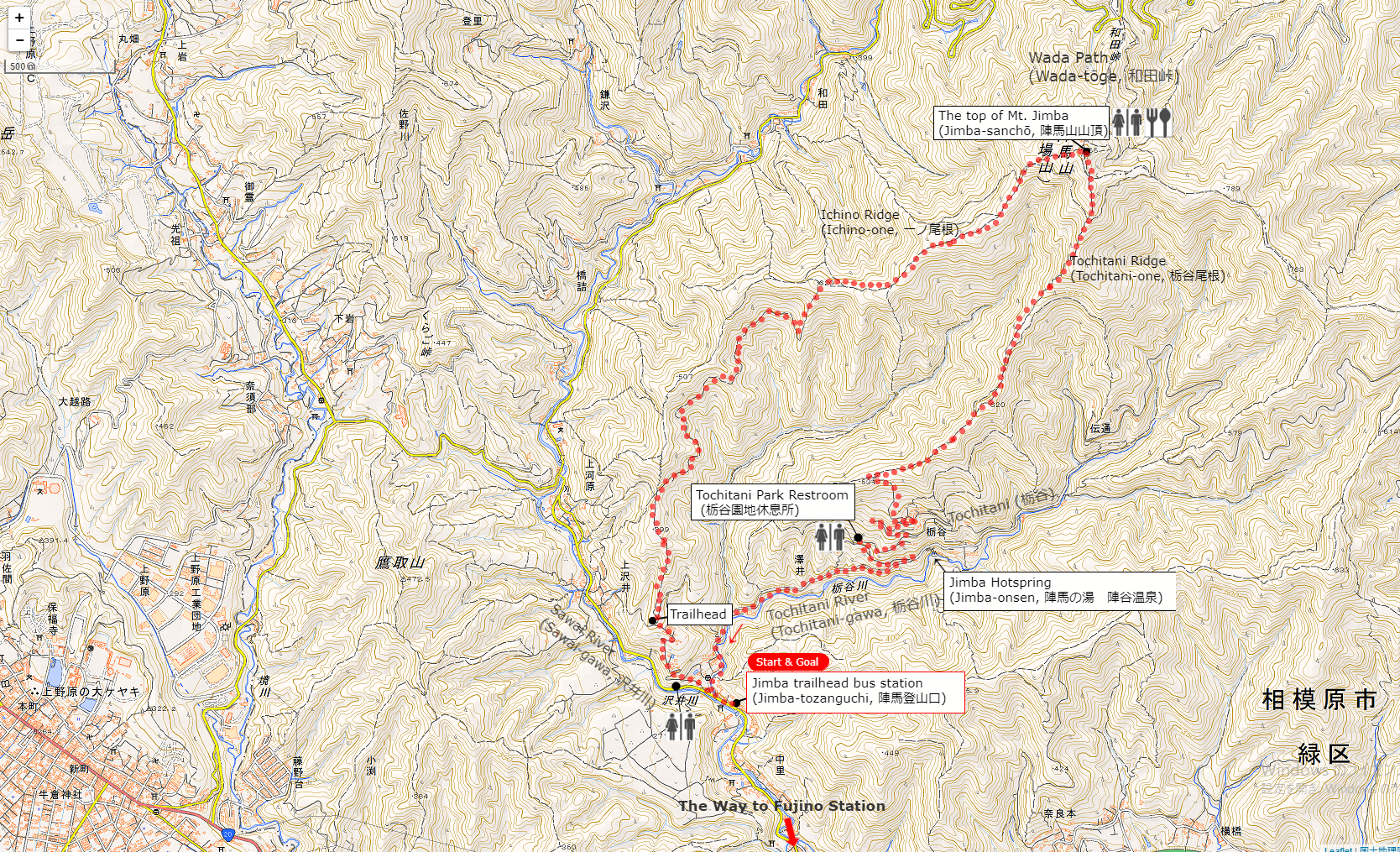
The source of above the three maps are “Digital Japan Web System” of The Geospatial Information Authority of Japan. The maps were edited a author of this blog.
In Japanese: これらの3枚の地図は国土地理院の電子国土Webシステムから配信されたものをこのブログの著者が加工したものである。
From Jimba trailhead bus station (Jimba-tozanguchi, 陣馬登山口) to the Top of Mt. Jimba (Jimba-sanchō, 陣馬山山頂)
Walk along the road in the same direction as the bus wast traveling. You can find a sign beside a stone monument signposted “Mt. Jimba via Ichino Ridge” (一ノ尾根経由陣馬山) on the right side as you go about 100 meters.
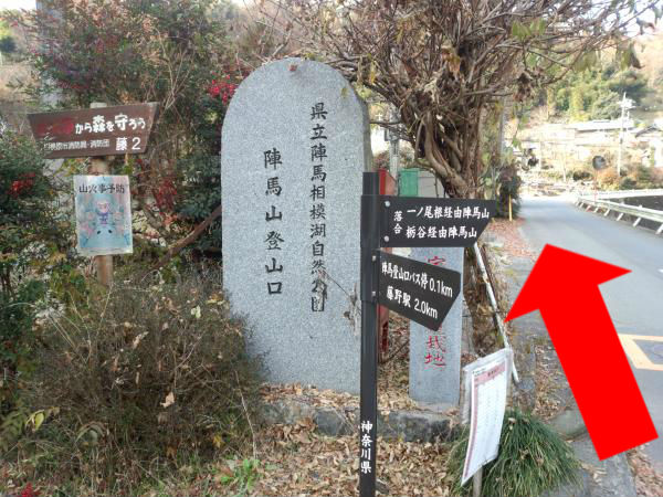
As soon as you turn right at the T-junction as follow of the sign, you can see a sign in front of post office signposted “Mt. Jimba 100 minutes Ichino Ridge Course” (陣馬山 100分 一ノ尾根コース) .
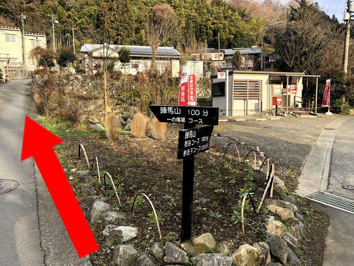
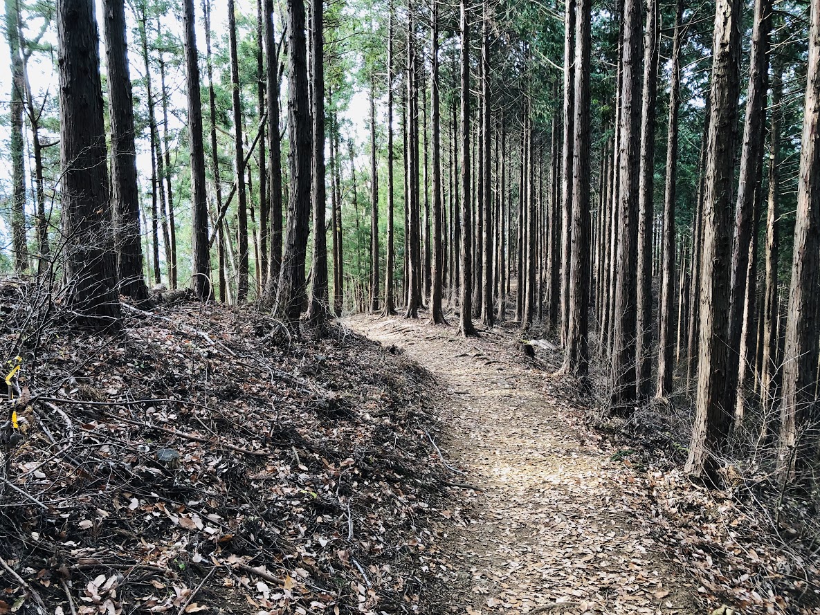
Follow the signboard and turn left, the path ascend from here. After ascend slope for about 20 minutes you will see a sign written “Mt. Jimba 4.0 km”. This sign is the trailhead of Mt. Jimba and after that the path become dirt trail. After turning to the left according to the direction of signboard, the trail though the beautiful ceder forest in about 1 hour and a half.
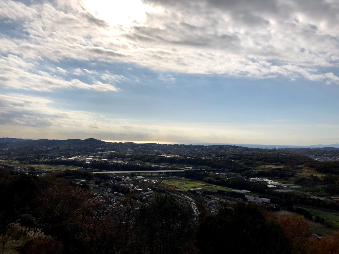
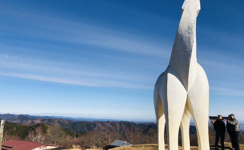
When you ascend the steep staircase, there is the mountain peak of Mt.Jimba. You can see 360-degree awesome panorama view include Mt.fuji and Kanto plain, Sagami Bay from here.
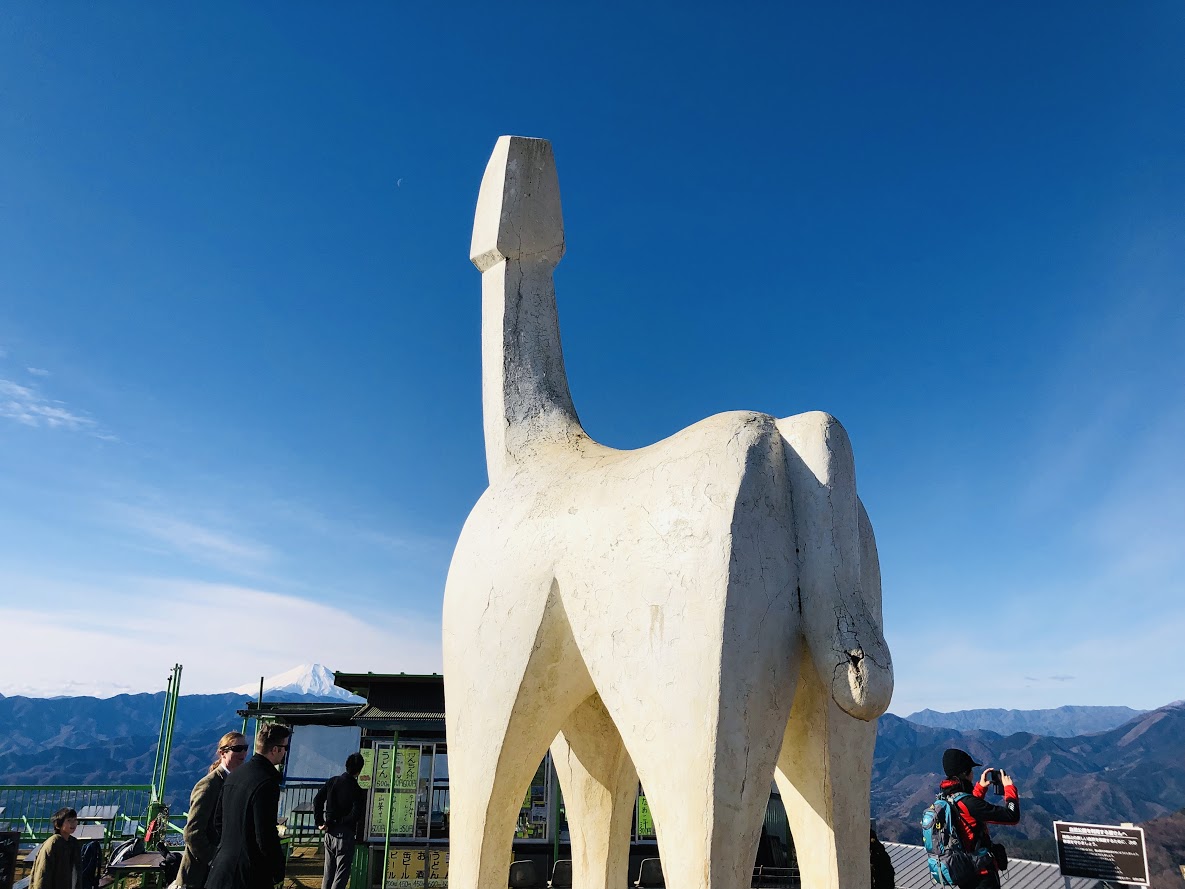
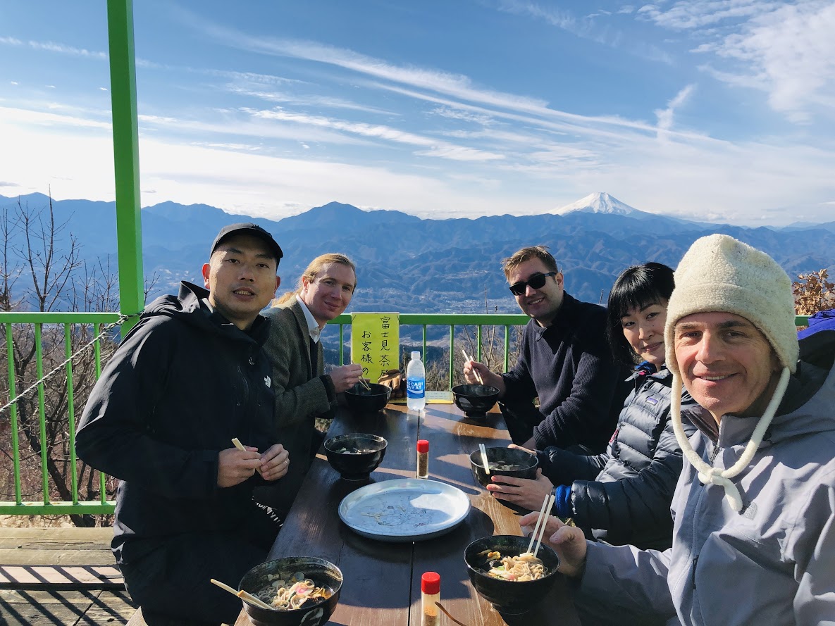
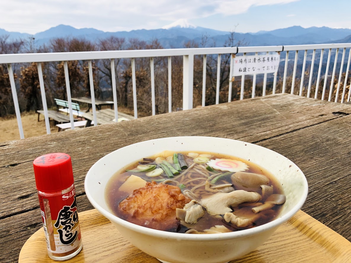
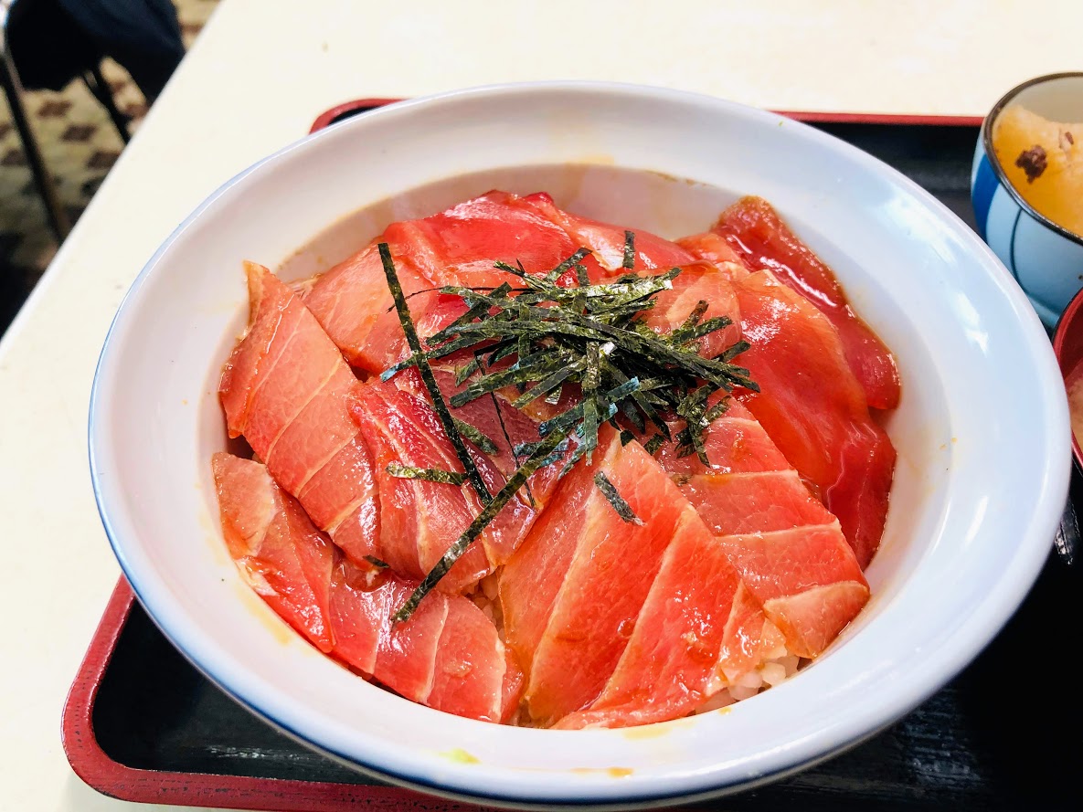
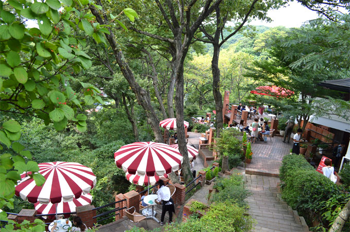
This place might be a best place to have a lunch, because there are three restaurants and hiking tables and benches on the summit of Mt.Jimba. Those shops offer some snacks and beverages including alcohol. Personally, I think the most delicious meal in those restaurants is a soba noodle with various vegetables and mushrooms (Jimba-soba, 陣馬そば) at Shimizu Tea-shop(Shimizu-jaya, 清水茶屋).
From the Top of Mt. Jimba (Jimba-sanchō, 陣馬山山頂) to Jimba trailhead bus station (Jimba-tozanguchi, 陣馬登山口)
The way to Jimba trail head bus station goes via Tochitani Ridge (Tochitani-one, 栃谷尾根). But there are no signposted Tochitani Ridge (Tochitani-one, 栃谷尾根) on this area. The way to return is on the left side path of the Fujimi Restaurant (Fujimi-chaya, 富士見茶屋) which is the most highest place restaurant on the summit.
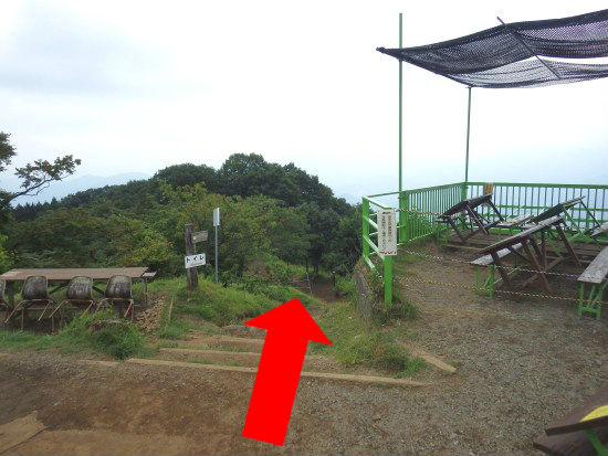
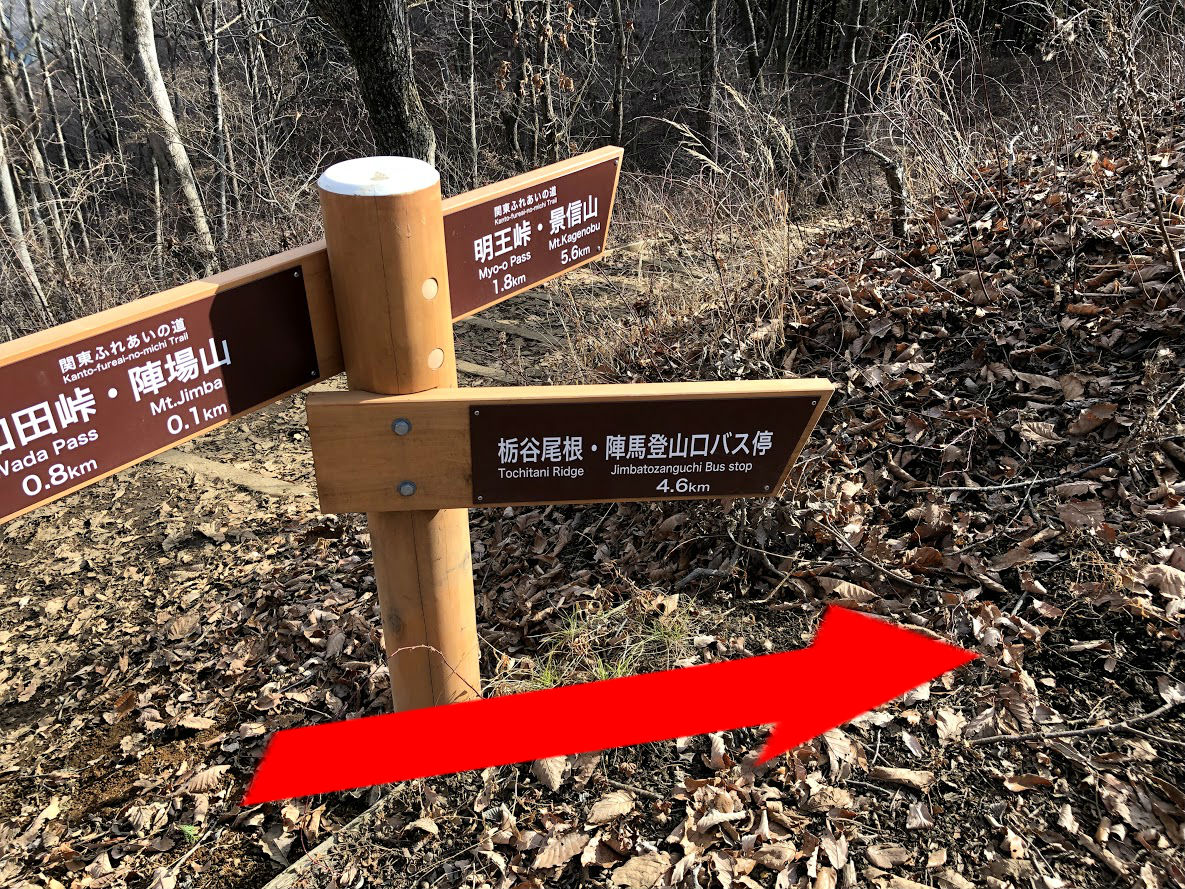
If you down stairs beside Fujimi restaurant, there is a signboard written “Tochi-tani 2.7 km” (栃谷 2.7 km) ahead 100 meters from the restaurant, you can go to Tochitani Ridge as follow this sign.
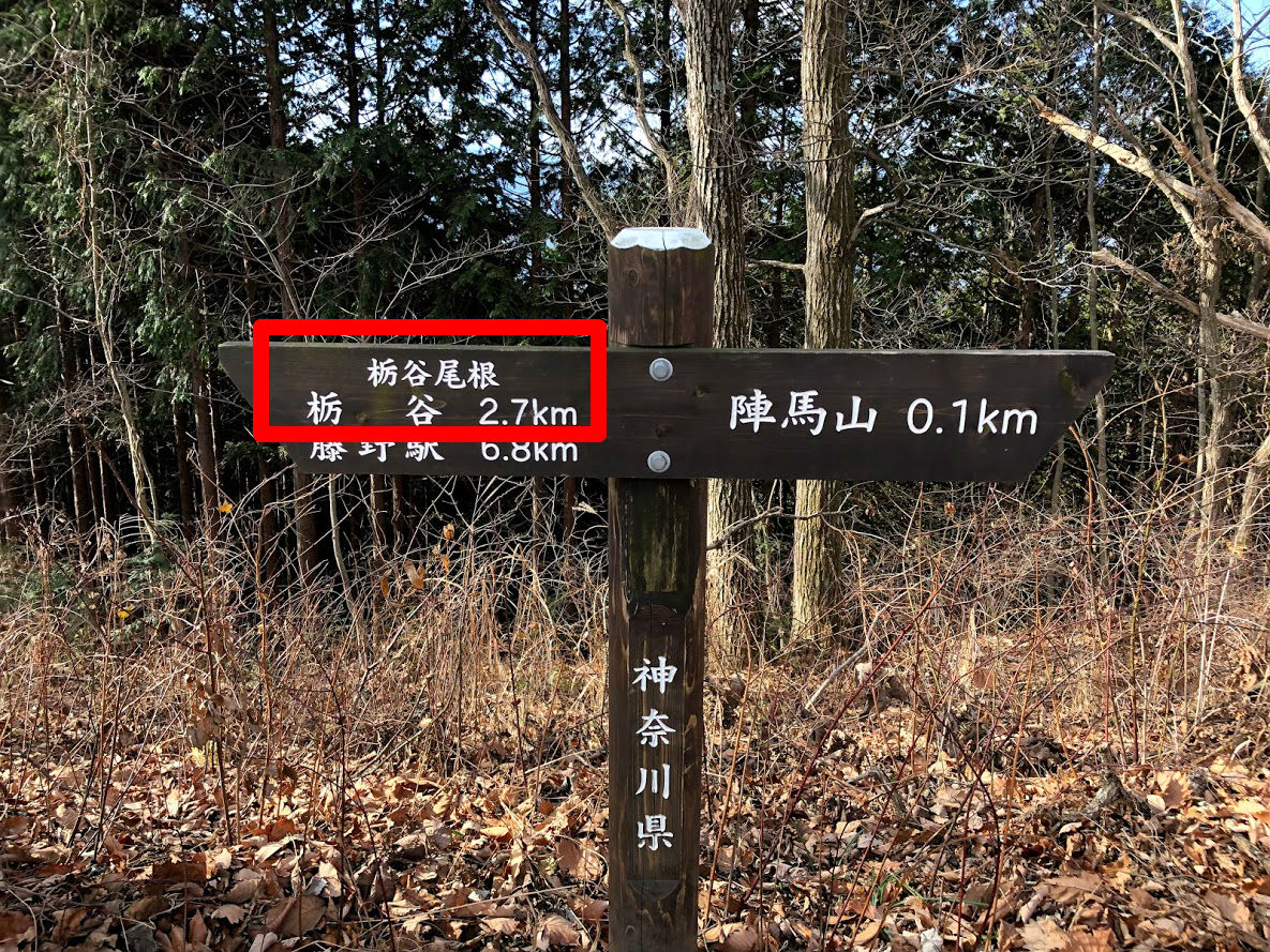
Ignore paths branching off to the left side, a little farther on. There is a new branch and then veer right side path at this branch as follow signposted “Tochitani Ridge and Jimba Trailhead Bus Stop” (栃谷尾根 陣馬登山口バス停).
A steep descent leads down to cedar and cypress forest. There are the most steep slope in this hiking course, let’s walk slowly with attention to slips and falls.
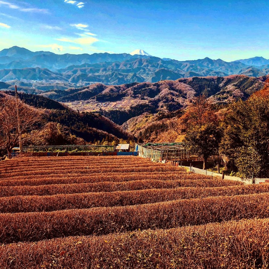
After 1 hour and 20 minutes or so, you reach Tochitani village, you can see tea plantations and yuzu plantation against superb view of Mt. Fuji. If it’s winter, you can buy sweet smell yuzu at the roadside stand.
Go through the path in the village. After a while there is a place named “Tochitani Park Restroom” (栃谷園地休息所) with a bath room and a table and chairs. You can wash your boots in the tap with a brush.
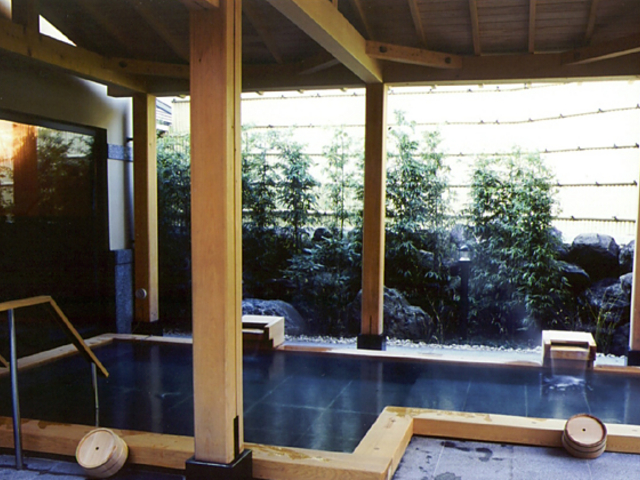
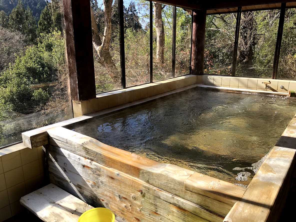
Just over 5 minutes leaving “Tochitani Park Restroom”, at a brunch signposted 陣屋温泉 where the path to the left to Jinya Hot Spring (Jinya-onsen, 陣屋温泉). If you visit the hot spring, bathing fee is just 1000 JPY.
In 20-30 minutes, after passing the previous branch signposted hot spring, you can find a post office which you saw in this morning. You are a bus stop soon if you turn left at the T – junction ahead and go about 100 meters.
Note: The bus on the way back are very few numbers.
Even if there is no convenient bus, it is about 20 minutes on your foots to back Fujino station.
The timetable of returning bus is here.


 Triple gelato is 520 yen.


 It is almost like a Japanese garden on the moon of Zuisenji Tenple.


 It is a popular Matcha ice cream shop “Kamakura Chacha”.