About Oku-Musashi Nature Hiking Course
Oku-Musashi is a generic term for the mountains and hilly areas in the southwestern part of Saitama Prefecture.
Oku-Musashi Nature hiking course is a natural sidewalk in there.
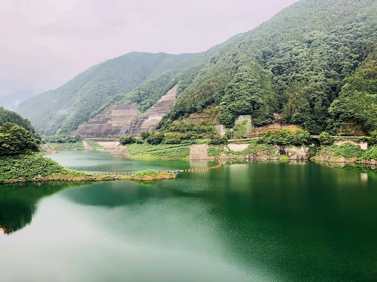
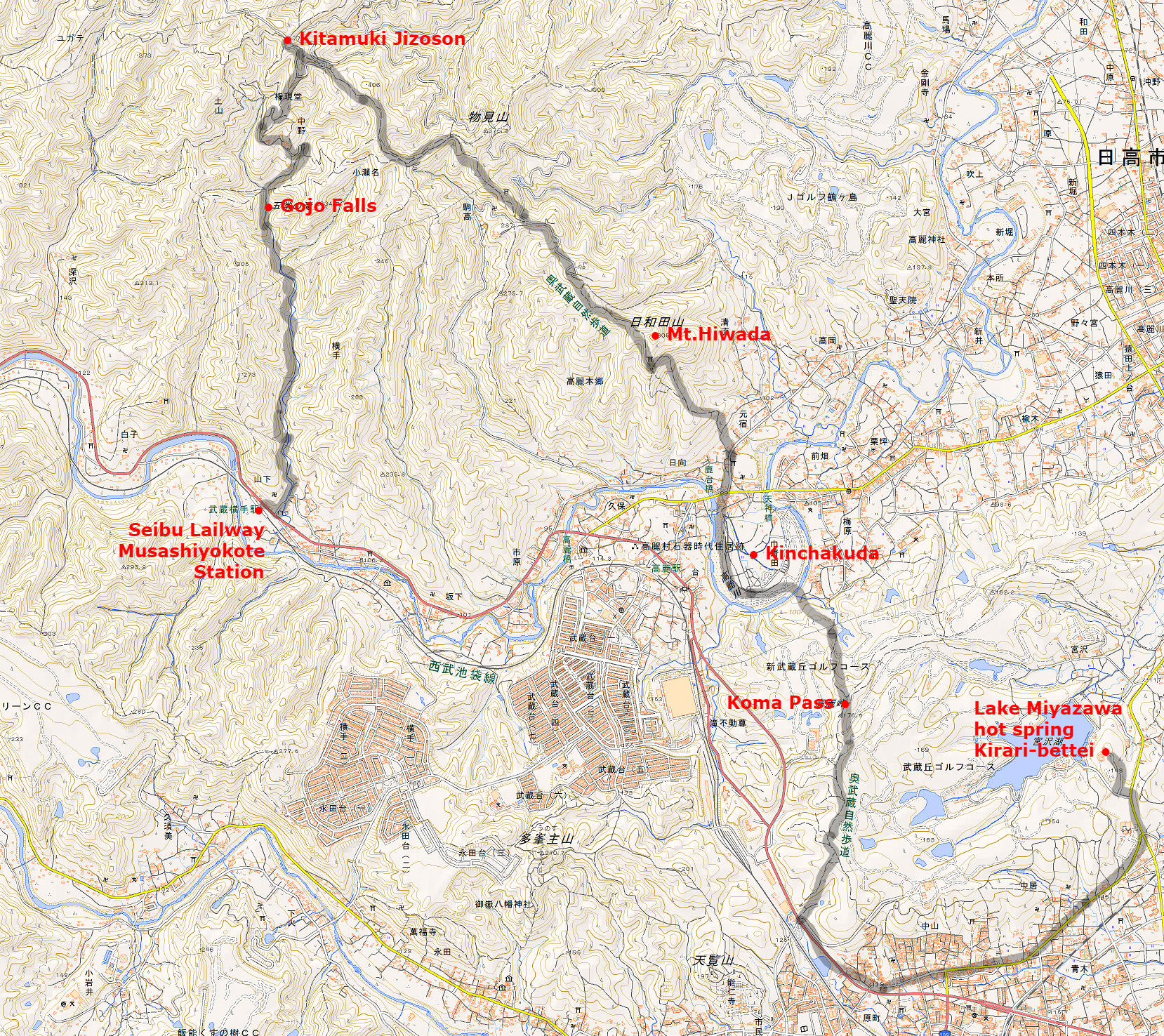
It is a hiking course of about 11 km in length connecting Kamakita Lake, Kitamuki jizou, Mt.Mooni, Mt.Takasasu-yama, Mt.Hiwada, Kinchakuda, Koma Pass, Mt.Tenran, which is a landmark of Oku-Musashi.
It is suitable for beginner of a hiker because it is a trail that is easy to walking with a relatively gentle slope.
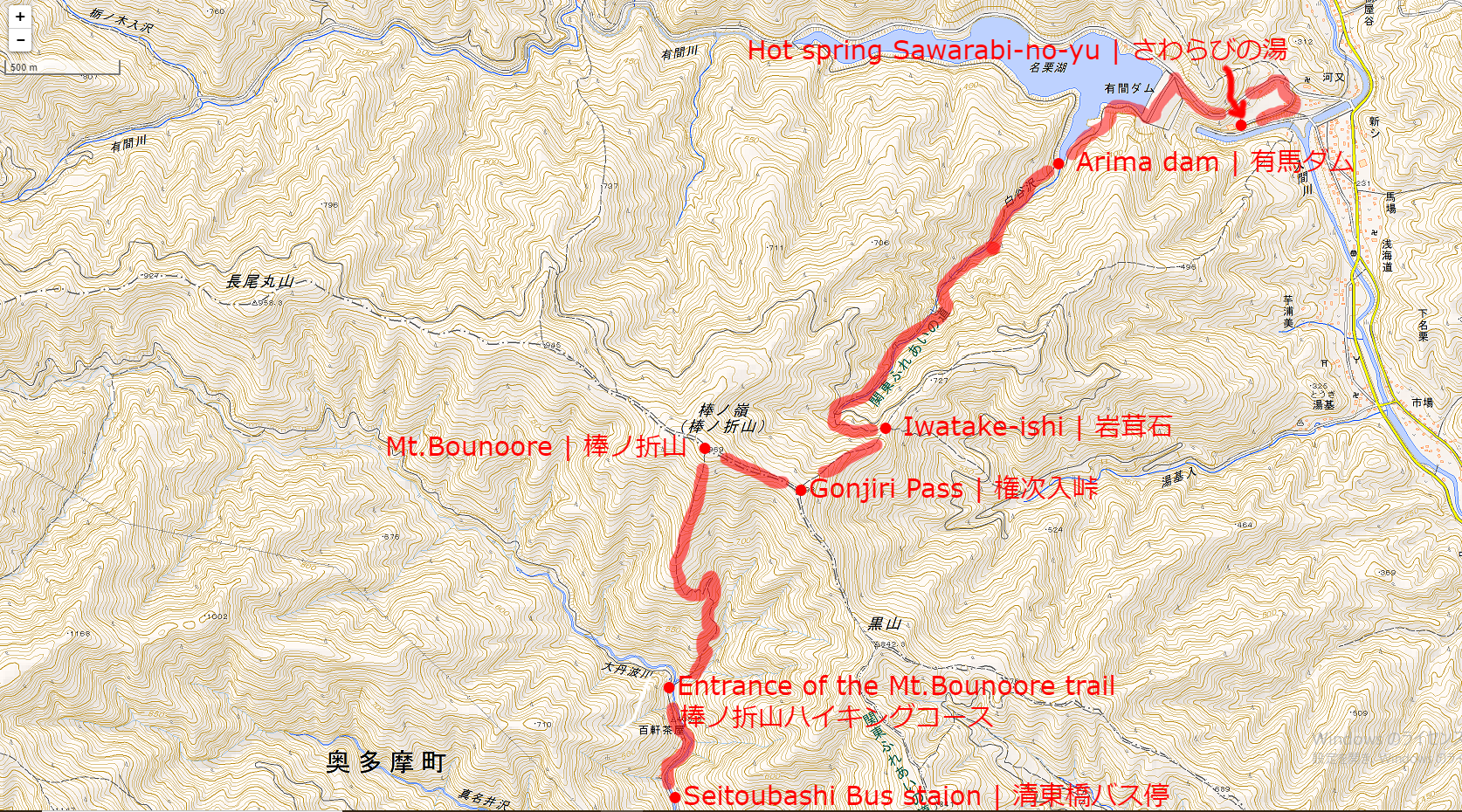
Map of Oku-Musashi Nature Hiking Route
Schedule of the day:
Seibu Lailway Musashiyokote Station(9:05)
↓
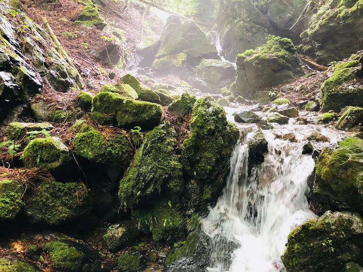
Gojo Falls(9:45)
↓
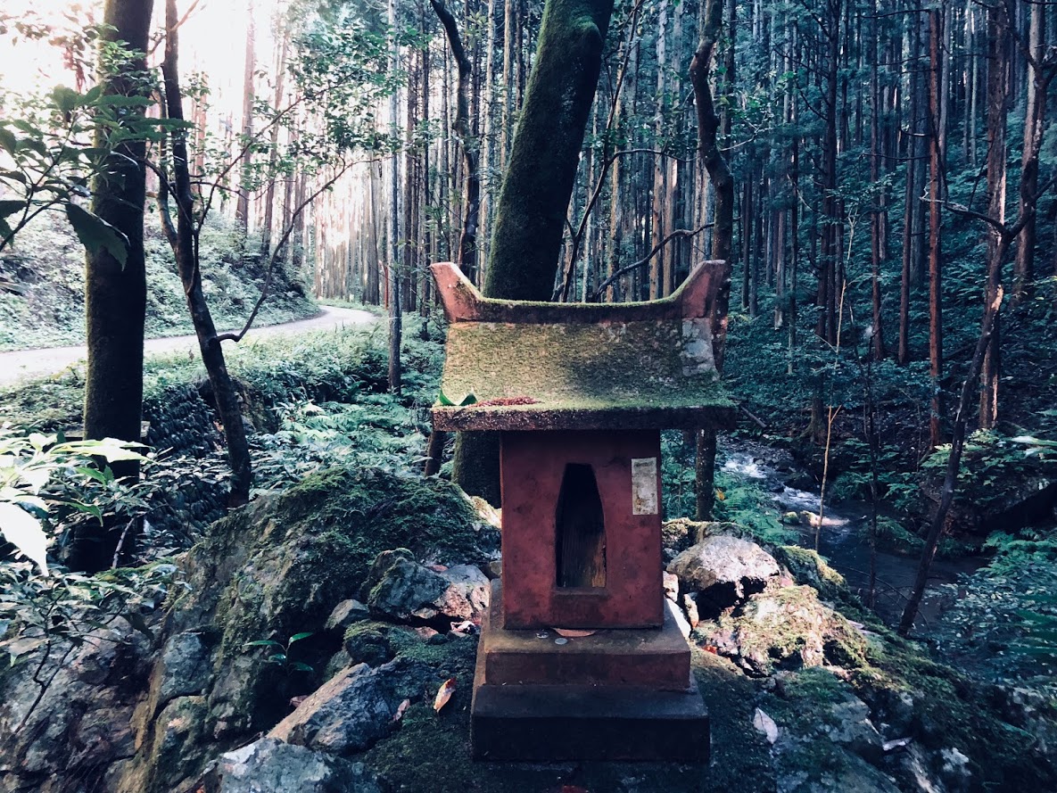
Kitamuki Jizoson(10:20)
↓
Mt.Hiwada(11:20)
↓
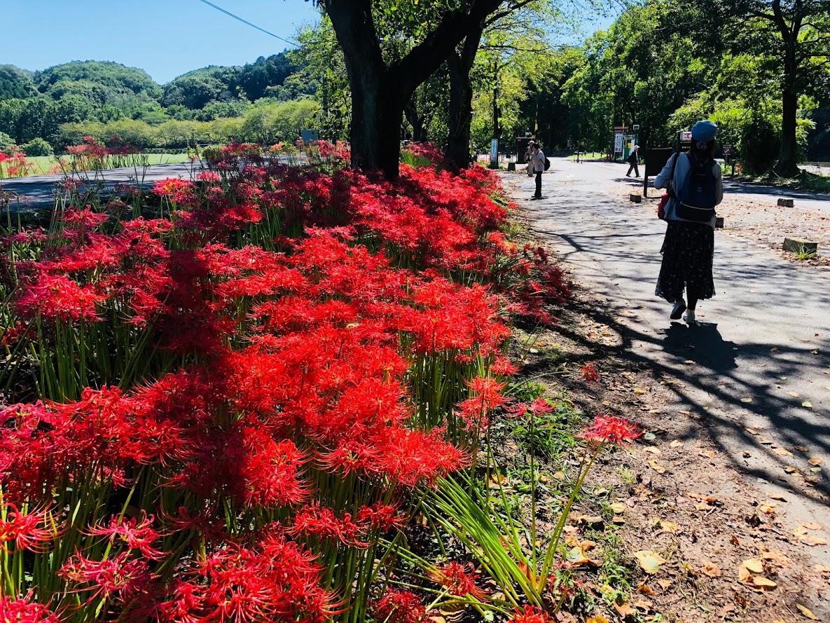
Kinchakuda(12:00)
↓
Lunch break
↓
Koma Pass(13:00)
↓
Lake Miyazawa hot spring Kirari-bettei(13:30)
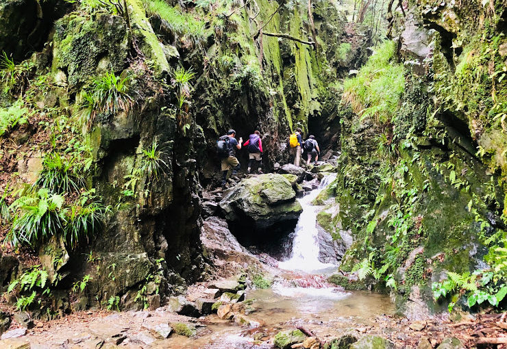
Gojo Falls was off limits on this day, I did not know whether I will come in the future or not.
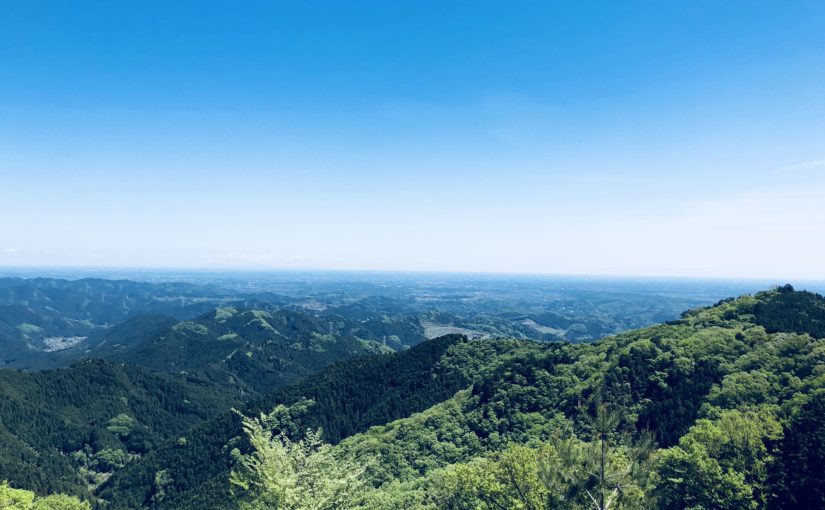
The outlook from Mt. Hiwada is wonderful and Kinchakuda had a festival of Cluster amaryllis and it was very crowded.
After Hiking:
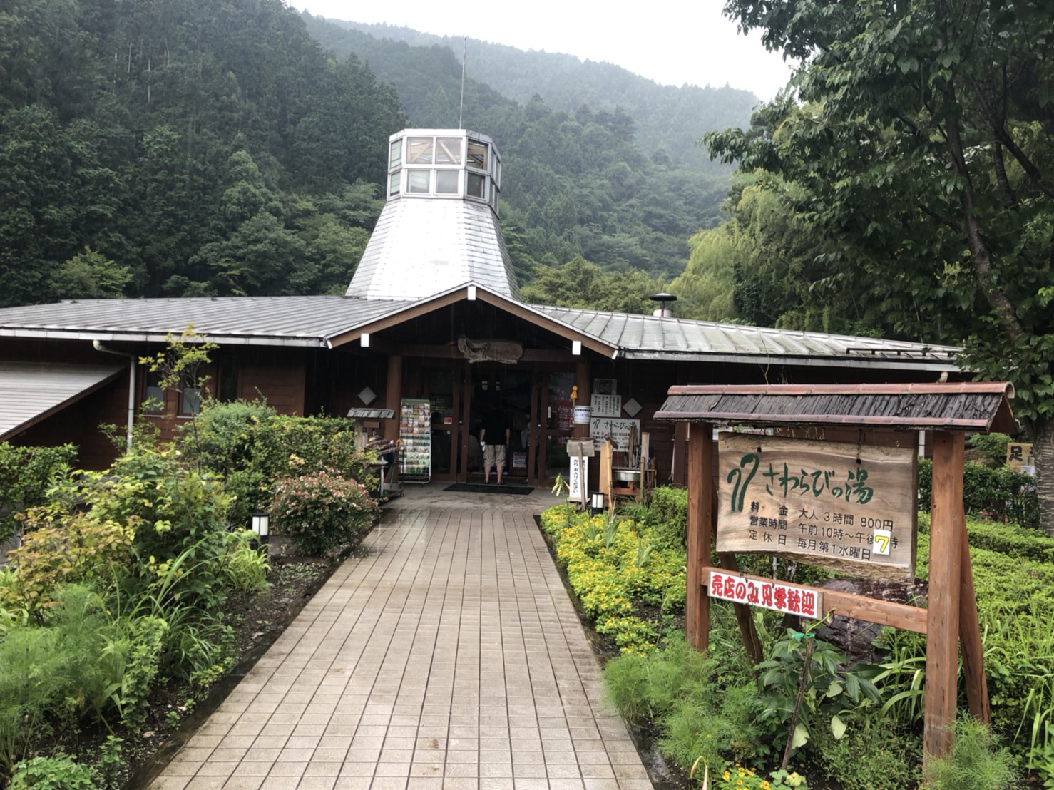
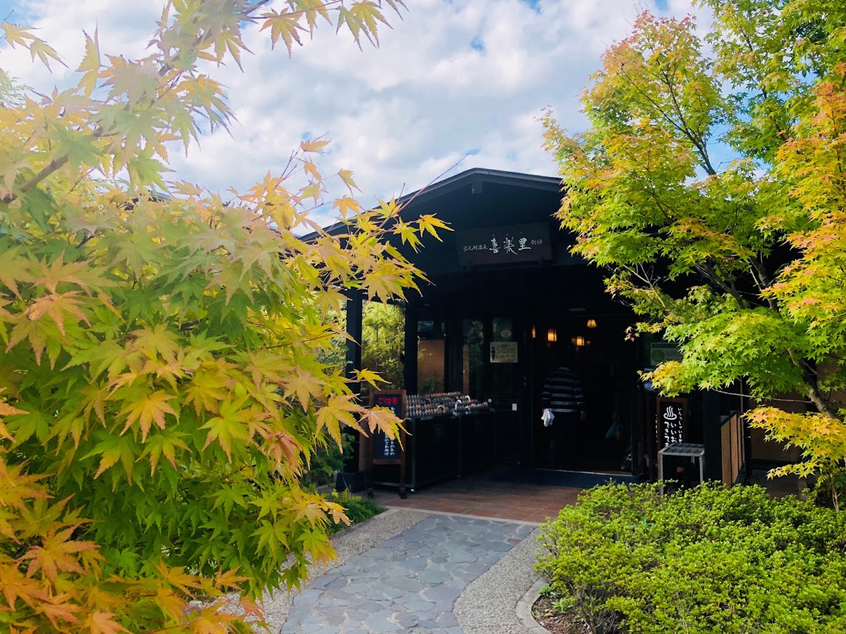
After the running is over, I ran from the end point of Koma Pass and got to a hot spring about 30 minutes.
This hot spring is named “Miyazawa Lake Spa Kiraku-bettei”, the bathing fee of the hot spring is 1000 yen.
From Hot Springs to Hanno Station is about ten minutes by bus.
Buses are about 1 to 2 per hour.
Do you need a guide?
If you are looking for guide of this trail, please refer to the following.
Private Hiking Gide to Oku-Musashi Nature | From Kitamuki Jizou to Mt. Hiwada